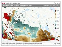
Last week’s forecast played out fairly well, with the exception of Thursday’s snowfall. The area of low pressure was forecast to bring a little bit of snow, but it ended up taking a more southerly route and dropped more snow than expected. It wasn’t any bigger or stronger than forecast; it just brought a bit more moisture with it. The warm air pulled northward by the low also stuck around a little longer before cooler air moved in.
Read Also

VIDEO: Here’s Manitoba’s 2026 spring storm forecast
Weather models are calling for above-average precipitation in southern Manitoba, with at least two more Alberta clippers possible.
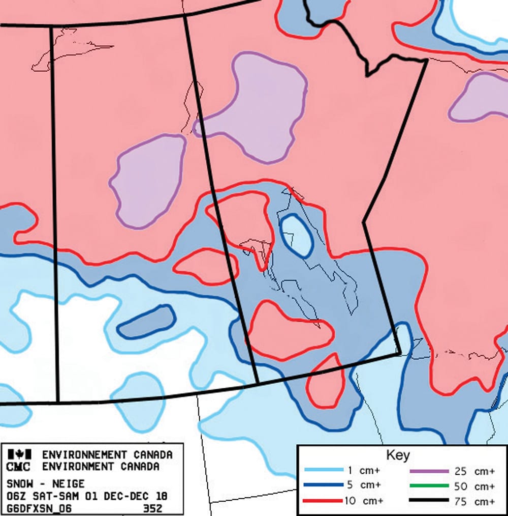
That is where this forecast period begins, with colder air moving in. An area of arctic high pressure is forecast to drop southward out of the Yukon around mid-week. We could see a few flurries on Wednesday as the front pushes through. I think this high might be strong enough to scour out the low-level moisture, allowing us to see some sunny skies on Thursday and Friday. Expect daytime highs to be in the -10 C range with overnight lows around -20 C, or warmer if the low-level clouds end up sticking around.
Over the weekend the arctic high will move off to our southeast, which will place us in a westerly flow. Mild Pacific air will eventually get pulled into our region by these westerly winds. Expect temperatures to begin moderating on Sunday, with daytime highs forecast to be in the -5 C range by Monday or Tuesday. Western regions may see temperatures near or even above freezing on Wednesday before slightly cooler air moves in for the second part of next week.
Looking further ahead, the weather models keep the main storm track well to our south right through to almost Christmas, so it doesn’t look like we’ll be seeing much in the way of snow for the next few weeks.
Usual temperature range for this period: Highs, -16 to -1 C; lows, -26 to -10 C.