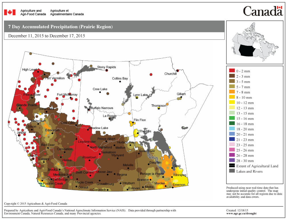
Well, you have to give Environment Canada credit, as it was the only forecaster to correctly predict the behaviour of last week’s Colorado low. While the low tracked pretty close to what weather models predicted, a trough of low pressure extending to the northwest of the low brought some significant snowfall to central and eastern regions.
For this forecast period, the weather models have pulled way back on the storm system that was predicted to move across our region just before Christmas. Currently, the models show two areas of low pressure: a weak one moving through central regions, and a slightly stronger one moving through the Dakotas. Temperatures, while still expected to be mild, will stay below the freezing mark, with the mildest air staying to our south. Precipitation from these systems is a little uncertain, but current indications are that most areas will see between two and five cm of snow by the end of the day on Wednesday, with some higher amounts possible in extreme southern regions.
Read Also

Manitoba Bill 15 offers possible first step toward right to repair for farmers
Manitoba farmers want to be able to fix their own equipment; the recently introduced Bill 15 may lay groundwork for that to happen.
Over Christmas and into the weekend, it looks like weak high pressure will dominate. This will bring a mix of sun and clouds, along with nice late-December temperatures, with highs expected to be in the -8 C range and overnight lows around -15 C. Temperatures will moderate late in the weekend as an area of low pressure tracks across north-central Manitoba.
Next week’s setup is a little uncertain, as the models have been struggling a little bit with consistency. The latest model run shows a large area of low pressure sliding by well to our south and a large arctic high trying to move in from the north. This will likely bring us plenty of clouds along with some occasional light snow early in the week before the high finally wins out. This would result in clearing skies around New Year’s, along with colder temperatures.
Usual temperature range for this period: Highs, -19 to -4 C; lows, -29 to -13 C.


