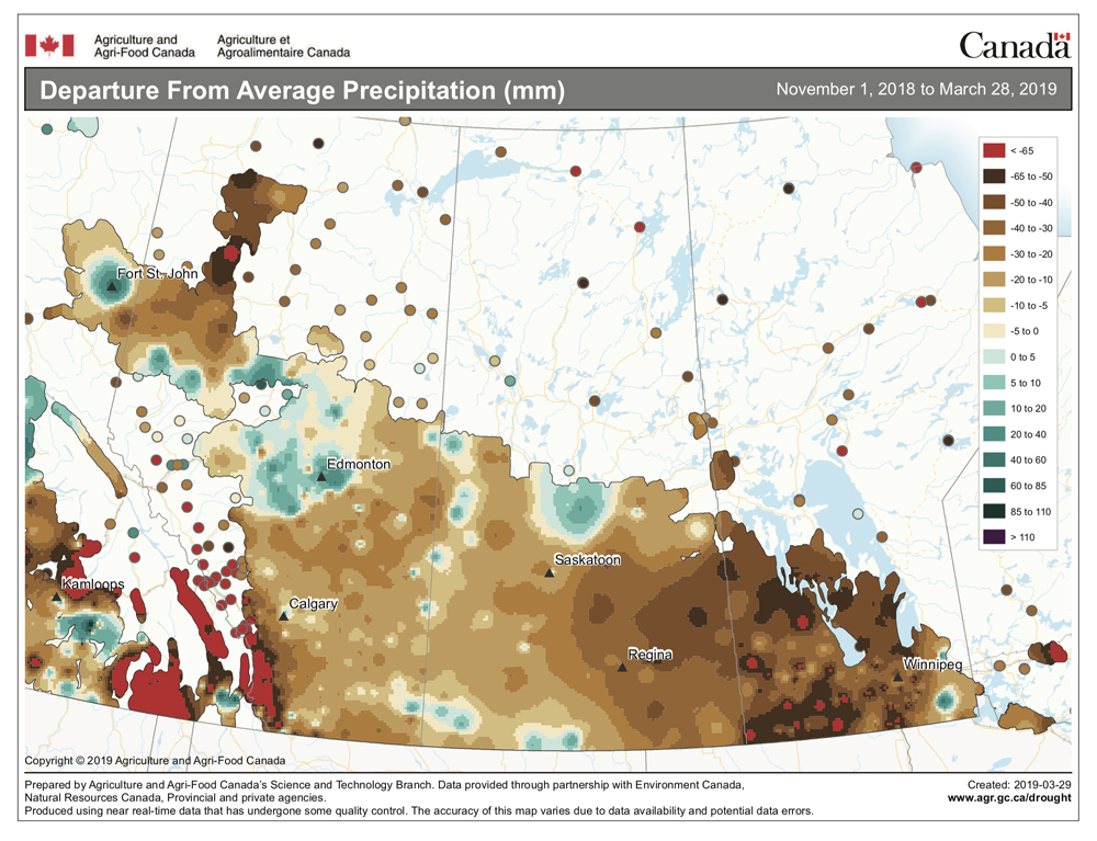
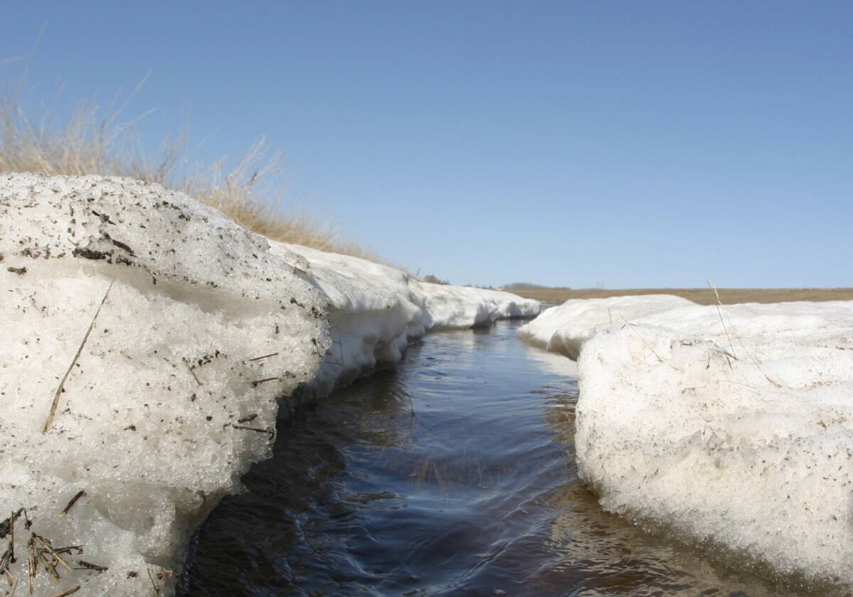
Surprisingly, last week’s forecast played out pretty close to what the models had forecast. The biggest difference was in the overnight lows, which tended to be a little warmer than forecast. While the cooler-than-average temperatures might not have been what everyone wanted, they did create nearly perfect conditions for a nice slow melt.
It is looking more and more like we’ll see a shift in the large-scale weather pattern during this forecast period. When this occurs, the question is, will the new pattern stick, or will we quickly jump back to the old pattern? The persistent large-scale upper low that has been situated over northeastern Canada looks like it will break down around the middle of this week. This will allow our flow to switch from a north/northwesterly pattern to a westerly or possibly even southwesterly pattern. The main impacts of this switch will be warmer and more springlike weather conditions.
Read Also
Forecasting spring 2026 weather on the Prairies
What weather can farmers expect across Manitoba, Alberta and Saskatchewan as they head into seeding? Plus: a lesson on what makes the seasons turn
The milder air will begin to move in on Thursday, with daytime highs forecast to be in the +6 to +9 C range by Friday. Overnight lows will warm, staying above the freezing mark over the weekend and into next week. An area of low pressure is forecast to track through central and northern regions over the weekend, which will place southern areas deep within the warm sector of this low. The latest forecast models hint that daytime highs could push into the upper teens on Sunday, with the best chance of seeing these temperatures over the southwest corner. We could also see the odd shower on Sunday, with the best chances being over central regions.
A second weaker low is forecast to track a little farther south on Monday and Tuesday, bringing clouds and a few showers over most regions. Temperatures will be a little cooler due to the cloud cover, but we’ll still see daytime highs near the 10 C mark. Sunny skies look to return by the middle of next week as Pacific high pressure builds into the region.
Usual temperature range for this period: Highs, +1 to +12 C; lows, -11 to +2 C.


