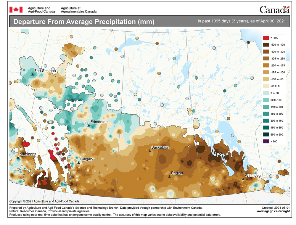
The two big forecast questions for this forecast period are: Will we finally see some consistently warm temperatures? And are we going to see any significant precipitation — preferably in the form of rain?
Well, to start off this forecast period, the weather models show seasonable temperatures as our region finds itself in a light southerly flow around an area of high pressure sitting over the Great Lakes. This should provide plenty of sunshine along with daytime highs around or even a little warmer than 20 C on both Wednesday and Thursday. On Friday, the weather models show an area of low pressure tracking through southern and central Manitoba, bringing plenty of clouds along with the chance of showers. Currently it does not look like this will be a big rain maker, but some areas may see five to maybe 10 mm.
Read Also
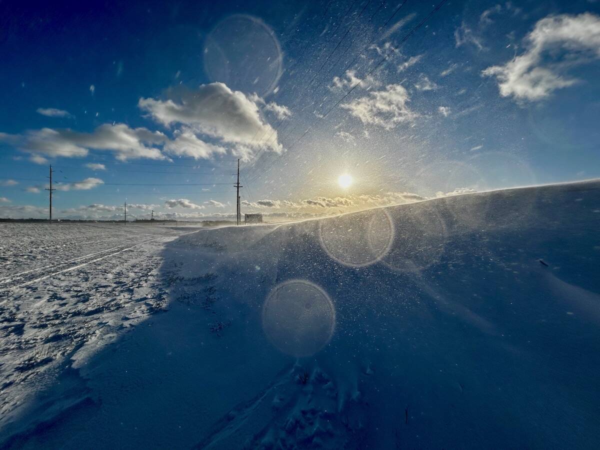
Why is the sky blue?
The colour of the skies, on the Prairies and elsewhere, tells the story of the paths sunlight takes as it enters Earth’s atmosphere, Daniel Bezte writes.
Behind this low, an area of arctic high pressure will try to drop southward, bringing with it a return to below-seasonable temperatures. The coldest air will stay to our north and east, but even with the strong mid-spring sunshine, daytime highs will only be around 15 C. With clear skies and cool, dry air in place, overnight lows are likely to drop below 0 C each night from Sunday (May 16) to Wednesday (May 19).
Looking a little further ahead, the weather models hint at more summer-like temperatures moving in by the May long weekend. While this is still a long way off, the latest model run shows daytime highs in the mid-20s, with overnight lows only dropping to around 10 C. With the warmer temperatures will also come more humidity and, hopefully, the chance of some significant rain.
Usual temperature range for this period: Highs, 13 to 25 C; lows, 0 to 9 C.


