After a pretty chilly weekend it looks like summer is going to try and move back in during this forecast period, with plenty of sunshine and warm temperatures expected.
This forecast period will begin with an area of high pressure building to our southeast and an area of low pressure over far Western Canada. Together, these two features will bring us a warm westerly to southwesterly flow that will help to boost temperatures toward the top end of the usual temperature range for this time of the year.
Read Also
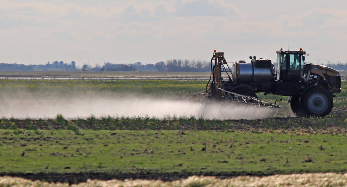
Herbicide-resistant weeds now on 72 per cent of surveyed Manitoba fields, costing farmers $77M a year
About 72 per cent of Manitoba fields last surveyed have herbicide resistance, says report — and that’s costing farmers big money.
Thanks to the high to our southeast, we should see mainly sunny skies right through until at least Saturday. Under the strong late-spring sunshine, daytime highs will be running in the mid- to upper 20s, with overnight lows around the 10 C mark. For the long weekend, the weather models show the western low finally kicking eastward, but confidence in the exact track and timing of this system is low. Currently, it looks like the low will move across central Manitoba sometime on Sunday, bringing with it some clouds along with a few showers or thundershowers. At this time it doesn’t look like this system will bring widespread rainfall.
The forecast for the first half of next week is pretty muddled as the weather models are having a tough time figuring out what looks to be a fairly active pattern. The weather models show another low developing over Montana on Tuesday that could bring a chance of thundershowers to our region. This low is then forecast to track northeastward and weaken on Wednesday. Temperatures look to continue to be mild, but exactly how warm it will be depends on just how much sunshine we get.
Usual temperature range for this period: Highs, 15 to 26 C; lows, 2 to 10 C.