As has been fairly typical over the last year or so, the warm air came in as expected and ended up being even warmer than what the weather models predicted. Last week’s heat broke several recorded highs along with even more “record high” overnight lows.
For this forecast period, it looks to remain mild, but not to the same extent as we saw last week. That said, we still might see a day or two with daytime highs pushing the 0 C mark. We begin this forecast period with a moderate northerly flow behind a Colorado low that passed by well to our south. This will help to drop our temperatures back down to around average by Thursday and Friday, with daytime highs expected to be around -10 C and overnight lows in the -16 C range.
Read Also
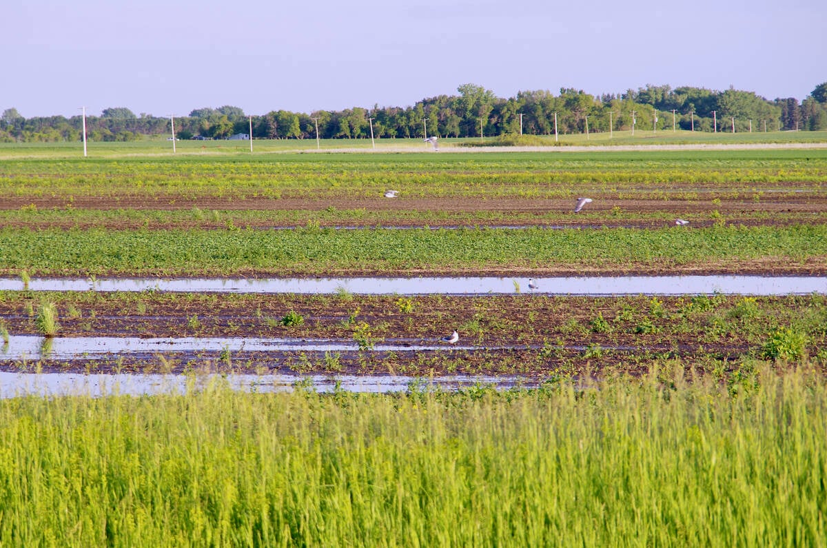
VIDEO: What climate change data gets wrong about the Prairies
Precipitation, not temperature, may be a better gauge of climate change impact on the Prairies, says director of the Prairie Adaptation Research Collaborative.
By the weekend another strong area of high pressure is forecast to develop over the northwestern U.S. The clockwise circulation around this high will start to once again pump mild Pacific air across the Prairies. Daytime highs will moderate fairly quickly under this western flow, with highs by Sunday or Monday expected to once again push the 0 C mark, with western regions seeing highs even a little warmer.
A low-pressure system is then forecast to track southeastward through central Manitoba and into northwestern Ontario on Tuesday and Wednesday. This will bring a chance for some showers or flurries, with the best chance of precipitation occurring near to and north of the low’s track. A cool ridge of high pressure will quickly follow this low on Wednesday and will drop temperatures down by 5° to 10°. These cooler temperatures are expected to last until the end of next week before another push of mild Pacific air moves back in.
Usual temperature range for this period: Highs, -21 to -6 C; lows, -33 to -16 C.


