Weather models had a good handle on our last forecast period. They were correct about the development and overall movement of last week’s Colorado low. It developed as forecasted and ended up moving northeast in two waves, as expected.
The first wave was early in the week; the second, late in the week. Timing of the second system was off by a bit and the system pushed further east than first forecasted.
For this forecast period, it looks like the pattern will quiet down as high pressure dominates our region. Cold air that settled in last weekend, behind the departing Colorado low, looks like it will stick around for most of this forecast period as a northwesterly flow establishes itself across Western Canada. That will help develop a large trough of low pressure over Hudson Bay, maintaining this flow.
Read Also
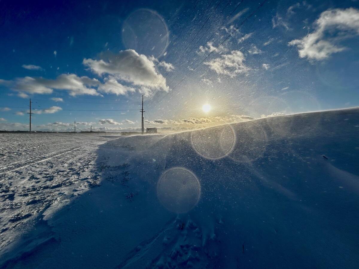
Why is the sky blue?
The colour of the skies, on the Prairies and elsewhere, tells the story of the paths sunlight takes as it enters Earth’s atmosphere, Daniel Bezte writes.
This will result in several areas of arctic high pressure dropping southeastward. Between each of these highs, weak areas of low pressure will work their way around the Hudson Bay trough. The exact timing of these features is uncertain, but should result in clear to partly cloudy skies with maybe the odd flurry thrown in for good measure.
Temperatures will be on the cool side, with most days seeing both daytime highs and lows close to the lower end of the usual range for this time of the year.
Looking further ahead, weather models are flipping back and forth between keeping us in a predominantly northwesterly flow to the end of the month, or rebuilding the western ridge of high pressure. If the northwesterly flow wins out, expect a continuation of colder- than-average conditions. If the western ridge rebuilds, we should see a return to above-average temperatures.
Usual temperature range for this period: highs, -8 to 3 C; lows, -17 to -4 C. Probability of precipitation falling as snow: 90 per cent.


