Well, the last forecast turned out to be partially correct, but as usual, little changes can be amplified over time. We saw the area of low pressure push by to our south and east last Thursday and Friday, bringing clouds and some showers a little farther into eastern regions than originally expected. Then, colder and wetter weather moved in to start this week instead of the really mild weather that was originally forecasted. That mild weather was held off to the west thanks to a little retrograde motion over Ontario.
Read Also

How Earth evens out the energy input
Earth has surpluses of radiation in its equatorial regions, and deficits toward its poles. Our weather is a matter of Earth trying to even out the imbalance, Daniel Bezte writes.
For this forecast period, it looks like warm weather will slowly make its way back into our region after a cool start. We will begin with arctic high pressure firmly in place behind the departing early-week storm system. This high will bring sunny skies but cool weather. Expect daytime highs to only be around +5 C, with overnight lows dropping to about -8 C. This arctic high will linger until late in the weekend before the western ridge of high pressure finally begins pushing eastward.
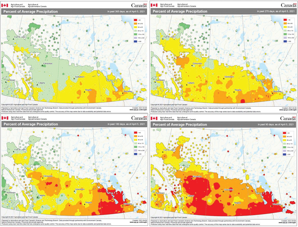
We should see warmer air move into far-western and northern regions before making its way across the south early during the week of April 19. We may see some clouds, along with the slight chance of a shower early in the week, as a weak area of low pressure ripples along the zone between the departing arctic high and the eastward-pushing western ridge. After that, we should see mainly sunny skies and dry weather, with temperatures moderating into the upper teens for daytime highs by the middle of the week and possibly into the low 20s by late in the week or the weekend. Unfortunately, it continues to look dry, with no strong indication of any prolonged wet period.
Usual temperature range for this period: Highs: +2 to +14 C; lows, -9 to +2 C.


