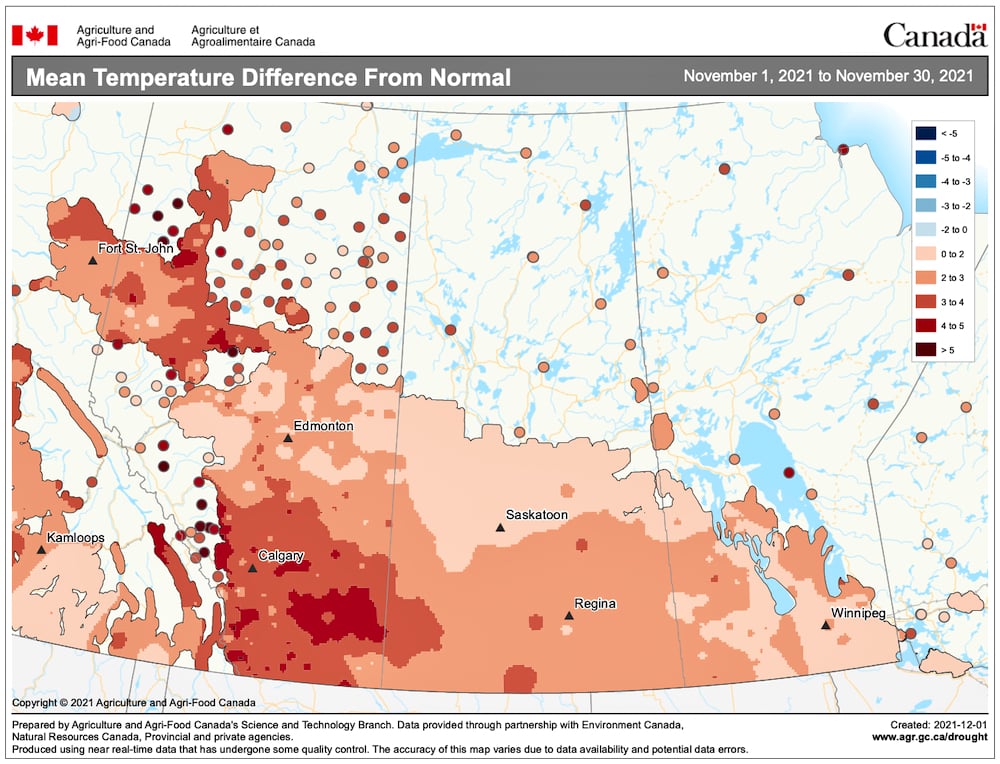
Last week’s forecast was not too bad — maybe a little off on the temperatures, as we saw slightly warmer readings than forecasted. The main storm track did remain split, keeping our region on the dry side with only a light dusting of snow here and there.
For this forecast period, I’m in a bit of a predicament. As I write this, the main weather model I use has been consistently showing the split storm track merging into one main storm track. This is thanks to a large area of low pressure forecasted to drop southward out of the Aleutians and work its way to the California coast before moving inland. This low is then predicted to deepen rapidly once it crosses the Rocky Mountains, becoming a Colorado low, and then to push quickly northeast by Wednesday or Thursday (Dec. 15-16).
Read Also
How Earth evens out the energy input
Earth has surpluses of radiation in its equatorial regions, and deficits toward its poles. Our weather is a matter of Earth trying to even out the imbalance, Daniel Bezte writes.
Should this materialize, our region could be under the gun for a strong winter storm. This storm could bring a mixture of rain and snow turning to all snow with accumulations in the 10- to 20-cm range. Now, Environment Canada’s weather model is also showing this system developing, but that model shows a weaker and quicker-moving system that remains mostly to our southeast.
While trying to predict this system this far out is difficult, what the weather will be like after this system has moved by is even more difficult to predict. If the storm system does materialize as predicted, or becomes even stronger, then it is likely we will see a significant outbreak of cold arctic air behind the system. Expect overnight lows to drop into the mid-minus 20s over the weekend with highs in the mid-minus teens. If the system is weaker and stays to our south, then the cold air behind the system will likely be less intense and shorter lived.
Wish I could be more definite with this weather forecast/prediction, but sometimes the timing of major systems just doesn’t work in my favour. With the continued dry weather, let us hope we do see some significant precipitation during this forecast period.
Usual temperature range for this period: highs: -18 to -3 C; lows, -28 to -11 C.


