It seems we are moving into a pattern of cold and settled weather, interspersed with periods of warm and active weather. The current medium-range forecast looks to support this.
This forecast period will begin on the cold side as an area of arctic high pressure builds southward behind a Colorado low that passed by to our south early in the week. Central regions could see a few flurries on Thursday as a weak low passes through this region. This low will be followed by a reinforcing shot of cold air that will plunge temperatures into the -27 to -30 C range by Friday morning. Fortunately, it looks like this cold air will quickly move off to the east and we should see temperatures begin to moderate on Saturday.
Read Also
How Earth evens out the energy input
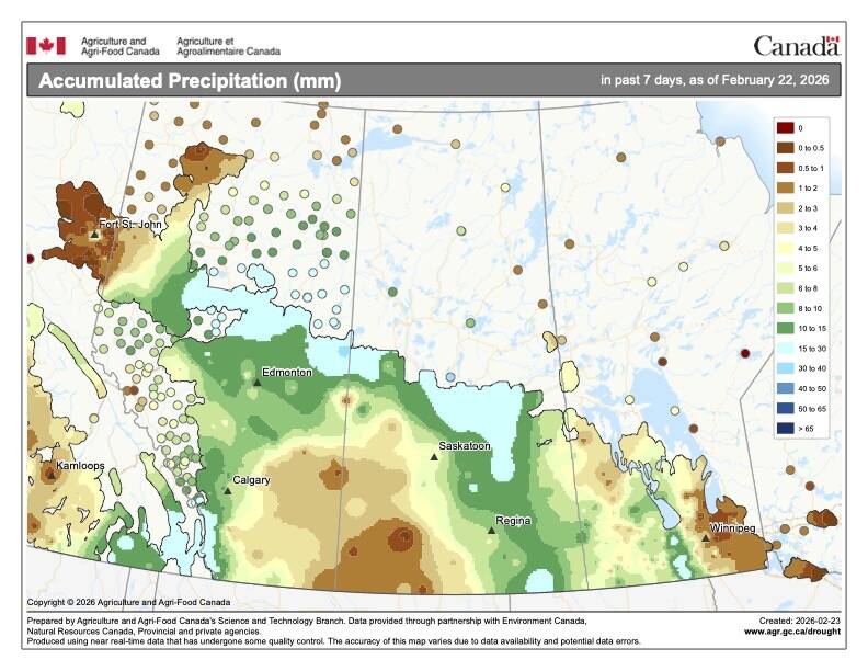
Earth has surpluses of radiation in its equatorial regions, and deficits toward its poles. Our weather is a matter of Earth trying to even out the imbalance, Daniel Bezte writes.
- Read more: A lot of severe summer weather in 2016
The weather looks to become very interesting next week as a deep low digs off the West Coast of North America and an area of high pressure develops over the western U.S. These two features will combine to help pump plenty of mild Pacific air across the Prairies.
Currently, the weather models show daytime highs around -5 C on Sunday over western regions, with this warmth pushing east on Monday. Temperatures will continue to warm next week, with daytime highs forecasted to be near or possibly even above freezing by Wednesday. These mild temperatures are expected to last right through until the weekend.
Attention will then turn to all of the Pacific energy coming inland; at some point this will bring the potential for more active weather, but that is still a far way off.
Usual temperature range for this period: Highs, -23 to -6 C; lows, -34 to -15 C.


