A topic was brought to my attention by a reader in Manitoba, my home province. The western part of the province has unique topography that affects weather in that region. In Manitoba, we call these features Riding and Duck Mountains, but they are more like hills.
Often when I discuss weather in what I refer to as the Dauphin region, I simply state that Dauphin can experience mild temperatures in spring thanks to its elevation. It was pointed out to me that this is misleading. Dauphin is in a bit of a valley east of the Manitoba escarpment, so its altitude at 268 metres is not that high. It’s a fair bit lower than Brandon, which is at 409 m.
When I discuss weather in the Dauphin region, I often mean the region west of Dauphin, which is much higher, with Duck Mountain at 831 m and Riding Mountain at 756 m. This elevation can impact temperatures because warmer air aloft is often pulled downward as it flows over higher elevations.
Read Also

VIDEO: What climate change data gets wrong about the Prairies
Precipitation, not temperature, may be a better gauge of climate change impact on the Prairies, says director of the Prairie Adaptation Research Collaborative.
Next up is the rest of the temperature summaries for last month. They all paint February 2024 as the warmest February on record. I won’t go into details about minor differences between agencies, but there were a couple of interesting facts and predictions.
First, of the 239 countries and territories with meteorologic stations, 194 had at least one station report a monthly temperature record for heat in February. That is remarkable, at 81 per cent, and according to @extremetemp, no other month has ever come close to this.
On a more dire note, the world’s oceans have now seen 11 straight months with record-breaking average temperatures. There are predictions that all southern oceans will experience coral bleaching this year and it may be the worst coral bleaching event in history.
Let’s move to our main topic: spring forecasting and when heat will move in for good. The toughest part of spring forecasting is considering snow on the ground and how it will impact temperatures. In a typical year, when there is widespread and fairly deep snow cover, this can be a little easier. Even then, the forecast will often call for warm temperatures with highs of 6 to 8 C and then they don’t happen. Why do we see these types of forecasts?
Forecasts by Environment Canada, three to five days in advance, are generated solely by computer models. There is no human intervention or interpretation in these forecasts. While they can be good, they often exaggerate weather systems.
Also, even with the size of computers used today, the amount of data and computations that must be done are so enormous that not every variable can be modeled to the depth and precision necessary for a good forecast.
This is where the human factor used to step in. The models would generate a forecast and then meteorologists would analyze it and use the “art” of forecasting to make changes. The art of forecasting is an intangible skill that incorporates gut feelings and intuitions that people have and may never be duplicated in computers.
This missing art accounts for lack of precision in our medium-range forecasts and often gives rise to erroneous claims of balmy weather in early spring.
This year has been a bit of an anomaly. Snowpack varies widely across the Prairies, often over relatively short distances. Daytime highs are often warmer than forecasts as weather models struggle with the unique snowpack. The models tend toward a normal snowpack and so far, they’ve often underestimated temperatures.
Let’s go back to a regular snow year. Why do the models often over-predict warm temperatures, especially at this time of the year? The basic answer lies with the snow, literally.
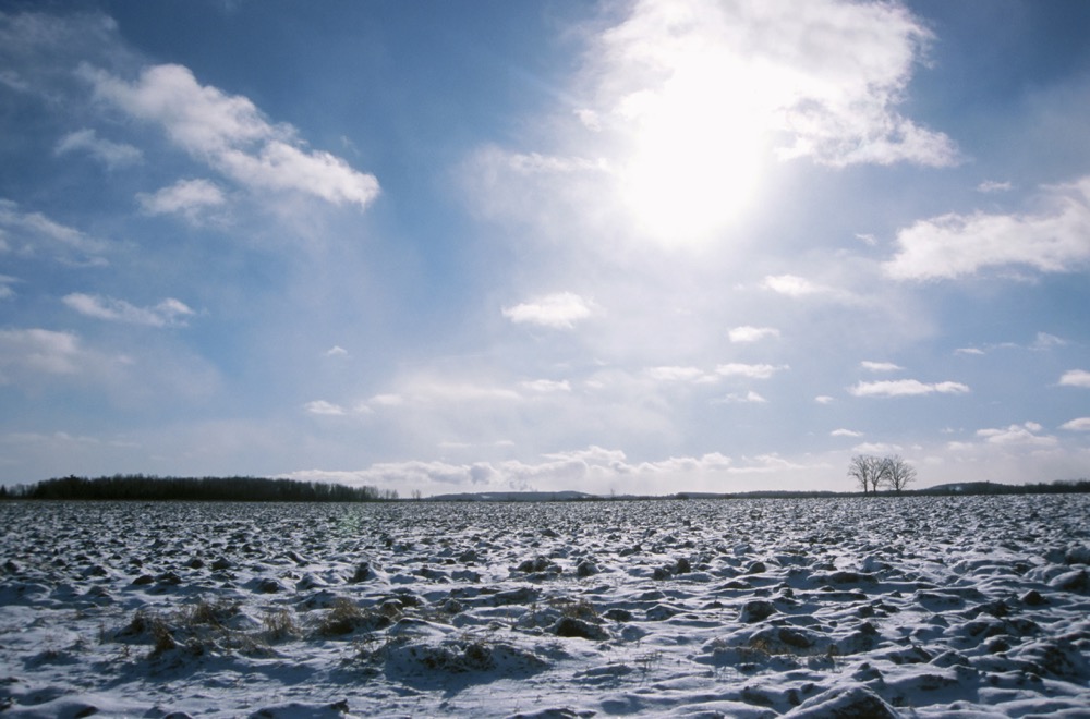
How many of us have gone out on a warm spring day to the local swimming hole or lake? What did you experience? I bet if there was a wind blowing off the lake, you noticed how much colder it felt. The cold water and ice on the lake cools the air around it. The same thing holds true when there is snow on the ground.
Snow acts in several ways to keep temperatures down. First, snow is cold by definition. Changing a solid to a liquid requires energy and in this case the energy is heat. Also, snow is usually white and white objects reflect sunshine.
So, if we have a large area covered in snow, and above-zero air moving into that region, the snow itself cools the air that comes in contact with it. As the heat of the air interacts with the snow, that heat melts the snow instead of warming the air, and it takes a lot of heat to melt snow. In fact, it takes almost as much heat to melt snow as it does to bring water to the boiling point.
There will always be exceptions. If very warm air is pushed into our region and wind mixes up the atmosphere and prevents the snow from cooling the layer of air next to it, we can see some very warm temperatures even with good snow cover. While this is fairly rare, it does occur, especially where the topography helps to mix the air.
The effect of snow acting like nature’s air conditioner can easily be seen when you examine temperature records. Even if you had no idea whether there was snow on the ground or not, in most years just looking at daily temperature records will show you when most of the snow has melted.
For an area to get consistently above zero, there cannot be snow on the ground. In some years the effect is so dramatic that you can see a jump of five to six degrees in mean temperature over a couple of days as the snow finally disappears.
So, if you’re looking forward to warmer days that consistently stick around, relax and wait for the snow to disappear.