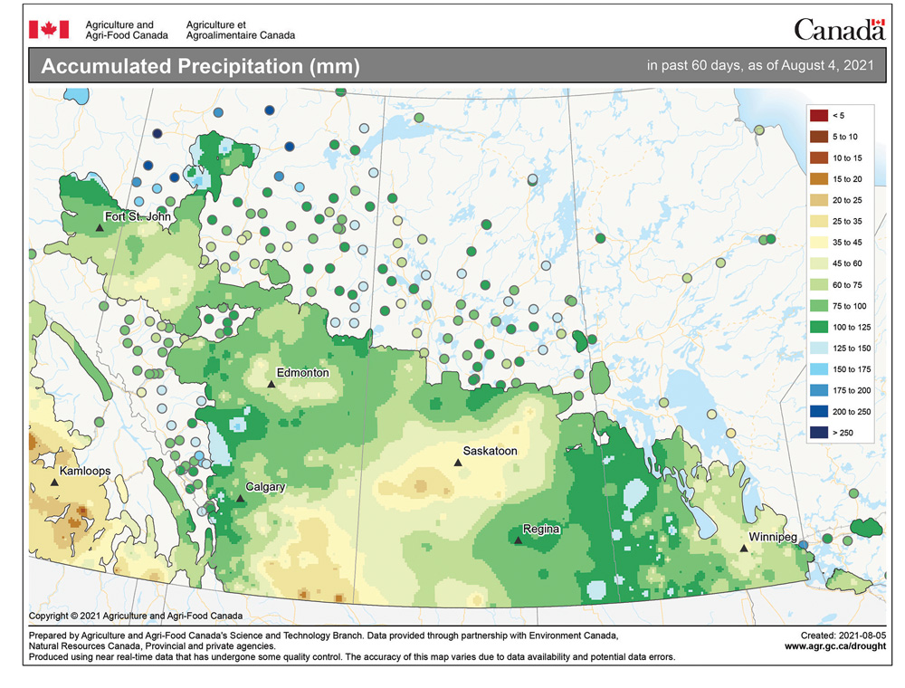
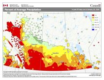
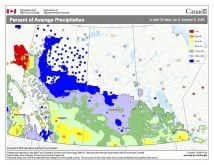
It is not that surprising with weak storm systems moving through, plenty of ridging and not a lot of moisture that the weather models are struggling a little bit with the timing and placement of systems, but the overall pattern is being forecasted quite well. Since the systems are weak, we tend not to notice when the forecast is off. With the drought, we are often downplaying any chances of rain because it just doesn’t seem to materialize, even if the forecast calls for it.
This forecast is looking a little better, but not by much. After weeks of the same pattern of hot weather for about five days, and then a couple of days of cooler, unsettled weather, it is looking like we might just see a little longer period of unsettled weather. That would mean more chances for rain and cooler temperatures. The unsettled conditions that started this week look like they will continue until around Friday, Aug. 13.
Read Also

Prairie weather all starts with the sun
The sun’s radiation comes to us in many forms, some of which are harmful to organic life while others are completely harmless or even essential, Daniel Bezte writes.
The weather models are predicting a series of weak lows to track across the Prairies this week, with one moving through on Wednesday and the second moving through late Friday. Neither system looks to bring widespread rains, but rather partly cloudy skies with widely scattered showers and thundershowers. Daytime highs are forecasted to be in the 24 C to 26 C range, which should feel nice and comfortable.
Over the weekend, the weather models are showing some upper-level ridging building back into our region, which would mean a return to mostly sunny skies and hot temperatures. Expect daytime highs to push back into the low 30s with overnight lows dropping into the mid- to upper teens.
Dry weather looks to continue into the week of Aug. 16, as a large area of surface high pressure builds in from the west. As this high builds in, the upper ridge will collapse to our southeast, which should allow temperatures to cool down a little bit with daytime highs predicted to be in the 25 C to 27 C range.
Usual temperature range for this period: Highs: 20 to 29 C; Lows: 8 to 14 C.

