

Well, if anything, the weather pattern is consistent. My forecast last week didn’t do a bad job, but when you have such a consistent pattern, all you really have to do is say, “today is going to be the same as yesterday.”
The last forecast called for a couple of chances for showers, and those chances came, but only a few very isolated showers and thunderstorms were reported. If you did get some rain, consider yourself lucky.
Read Also

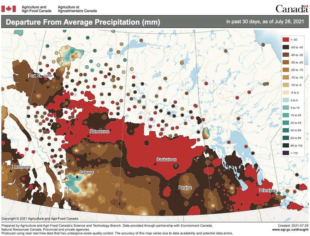
June brings drought relief to western Prairies
Farmers on the Canadian Prairies saw more rain in June than they did earlier in the 2025 growing season
This forecast period, it’s looking like the hot, dry weather will continue as upper-level ridging and surface high pressure continue to dominate. Even when the weather models show areas of low pressure moving into our region, little if any rainfall is accompanying these systems.
The hottest weather looks to be on Wednesday as the core of the upper ridge pushes through our region. Expect daytime highs to be in the low to mid-30s with overnight lows only dropping into the upper teens.
It looks like it will cool back down to the mid- to upper 20s for highs on Thursday and Friday as an area of high pressure tracks through northern Manitoba. Over the weekend the weather models are showing an area of low pressure lifting northeast out of the western U.S. Best chances of showers and thunderstorms appear to be late Saturday and into Sunday. This could be the best chance of seeing more widespread rainfall in over a month — fingers crossed.
Once this system slides off to the northeast, weather models show a return to warm, dry weather as the western ridge briefly rebuilds over our region. Some possible good news — the weather models are showing another area of low pressure lifting northeastwards late in the week (Aug. 12-13), bringing another chance of some showers. Maybe early indications of a pattern shift? We will have to wait and see how things play out.
Usual temperature range for this period: Highs: 20 to 30 C; Lows: 10 to 16 C.


