Plenty of sunshine along with fairly light snow cover allowed temperatures to moderate a little quicker than anticipated last weekend, with highs close to freezing in most areas and a few snow-free regions making it above freezing.
For this forecast period it looks like the mild weather will continue. In fact, it looks like it will be getting warmer as we work our way further into the month. As with last week’s forecast, high pressure will dominate our weather, with the northern storm track staying well to our north and the southern storm track way to our south. For those of you hoping for more snow, it looks like you’ll be out of luck. In fact, for regions that only have a light dusting of snow, there is a good chance that most of it will melt, even with the weak December sunshine.
Read Also
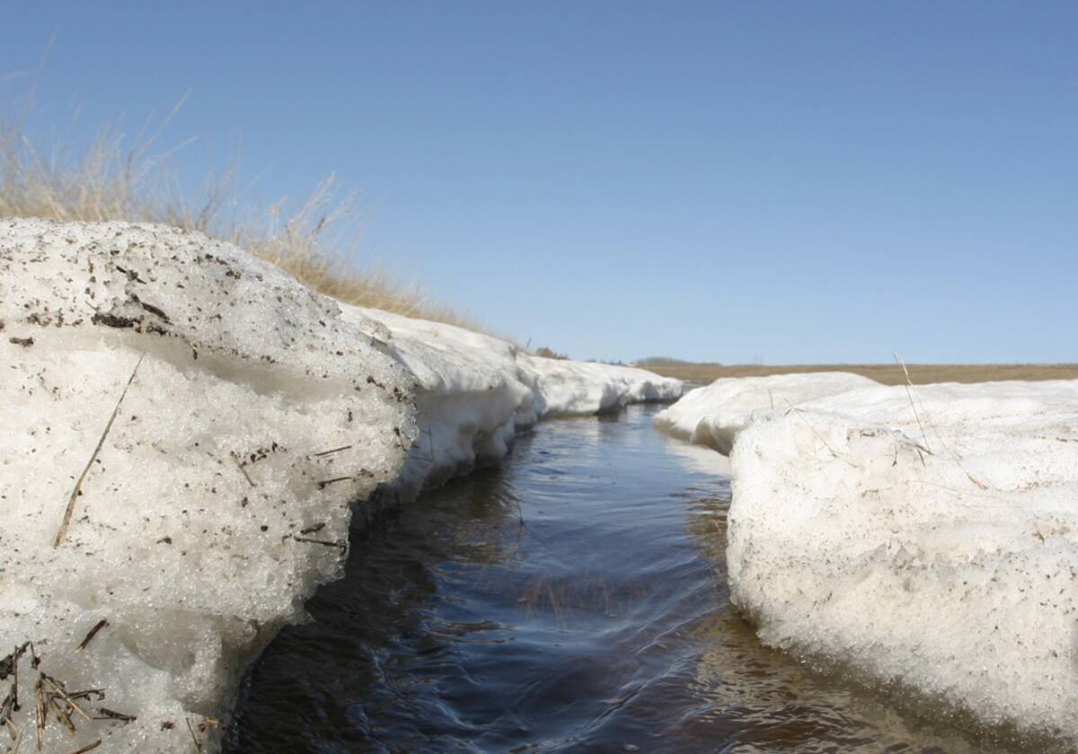
Forecasting spring 2026 weather on the Prairies
What weather can farmers expect across Manitoba, Alberta and Saskatchewan as they head into seeding? Plus: a lesson on what makes the seasons turn
The warmest day looks to be Friday, as an area of low pressure tracks across the northern Prairies. This low will pull up plenty of mild air ahead of it, pushing temperatures into the +3 to +5 C range. It doesn’t look like we’ll be breaking any records but we’ll definitely be well above the usual temperature range for this time of the year.
We should see a bit of a cool-down over the weekend as some colder air works southward behind the northern low, but temperatures will still be mild, with highs expected to be in the -3 C range. For next week, high pressure will be situated to our south and southeast and a large, deep area of low pressure will be spinning in the Gulf of Alaska. The high will keep us sunny and dry and the general airflow between the two systems will result in a mild west to southwesterly flow. Expect highs to be between -1 and +3 C, with overnight lows in the -5 to -8 C range.
For those of you wishing for some slightly cooler weather and a little more snow, take heart: the models hint at cooler and more active weather moving in around the middle of the month.
Usual temperature range for this period: Highs, -15 to 0 C; lows, -25 to -7 C.


