Last week’s forecast was fairly accurate, only off by a day or so in the timing of systems during the first half. In the second half, the warm weather moved in, but the western low did not develop as expected, so we did not see the strong southerly winds last Sunday and Monday.
For the start of this forecast period, a building ridge of high pressure will bring mainly sunny skies and warm temperatures. Expect daytime highs in the upper 20s to around 30 C, with overnight lows in the mid-teens. By Friday, the weather models show the ridge sliding off to the east, which may allow a weak area of low pressure to track by our region. This low will bring a slight chance of showers and thundershowers.
Over the weekend, it looks like a weak ridging of high pressure will build, resulting in a return to mainly sunny skies and continued of warm temperatures. There may be the odd thundershower late on Sunday or Monday as the ridge breaks down and a weak cold front tries to push through from the west.
Read Also
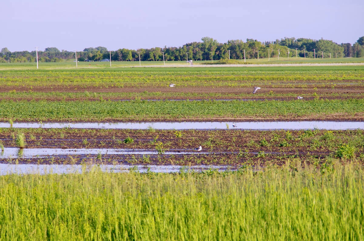
VIDEO: What climate change data gets wrong about the Prairies
Precipitation, not temperature, may be a better gauge of climate change impact on the Prairies, says director of the Prairie Adaptation Research Collaborative.
The week of Aug. 15 looks to be a transition week, though confidence in this part of the forecast is low. Once the cold front pushes through, we will see more seasonable temperatures, with daytime highs in the low- to mid-20s and overnight lows falling into the low teens.
Skies should remain relatively clear with little chance for rainfall. Later in the week there is a chance of a second cold front dropping southward, which would bring cooler air into our region late in the week and into the following weekend.
Again, confidence in this is low, but as we move into the second half of August, the chances for cooler weather begin to increase.
Usual temperature range for this period: highs, 20 to 29 C; lows, 8 to 16 C.


