Well, last issue’s forecast got the main idea right, but as I have stated before, the devil is in the details. The large area of low pressure did drop southward along the coast but instead of merging the two storm tracks, the northern part of the low broke off and brought stormy conditions to the northern Prairies. The southern storm then intensified as predicted, but developed farther south and east, resulting in a track that put the heavy precipitation in northern Ontario. So, while we missed the heavy snow, we did see the push of cold air behind the system. The question now is, will that cold air stick around, or will we see a return to mild temperatures?
Read Also
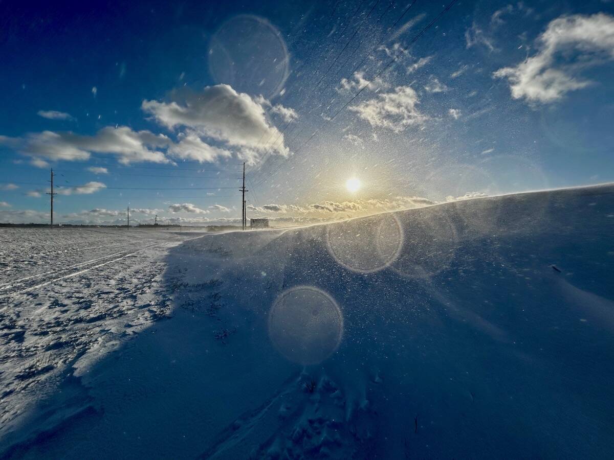
Why is the sky blue?
The colour of the skies, on the Prairies and elsewhere, tells the story of the paths sunlight takes as it enters Earth’s atmosphere, Daniel Bezte writes.
For this forecast period I will do my best to forecast up to Christmas; after that time I will take a more general view and look at what the latest trends show for the days leading up to New Year’s.
It looks like our region will start off with an area of arctic high pressure to our northeast with several disorganized lows spinning off to our west. The clockwise rotation around the arctic high will bring southerly winds to Manitoba, which will help to boost temperatures at least a little bit. Expect daytime highs on Wednesday and Thursday to be around -12 C, with overnight lows falling to around -18 C. The southerly flow looks to weaken on Christmas Eve which will allow temperatures to cool off by a couple of degrees. A weak disturbance might even bring the odd flurry, though confidence in this system is low.
Christmas Day looks to be sunny with nice seasonable temperatures. A trough of low pressure will try to push in on Boxing Day and may bring a little measurable snow, but the way systems have been behaving so far this winter, I wouldn’t hold my breath.
Looking further ahead, the weather models seem to be keeping to the same active pattern we are in now. This means most storm systems will be travelling to our north or staying to our south, with southern and central regions only seeing the odd dusting of snow when these systems move by. Temperatures look to be on the cool side as arctic air keeps trying to push south behind these storm systems — but so far, no indications of a really intense outbreak of cold air.
Usual temperature range for this period: Highs, -20 to -4 C; lows, -29 to -12 C.


