The weather models did a good job with forecasts over the last few weeks, which is fairly typical for this time of the year. By mid-summer, we usually do not have to deal with strong areas of low pressure that can really play havoc with forecasts.
This doesn’t mean the forecast will get everything right. After all, it is thunderstorm season and they can be notoriously difficult to forecast, but the weather models will usually get a good handle on the overall picture.
This forecast period should see a warm start, then a return to cooler and unsettled conditions, followed by heat moving back in by the end of the forecast period.
Read Also
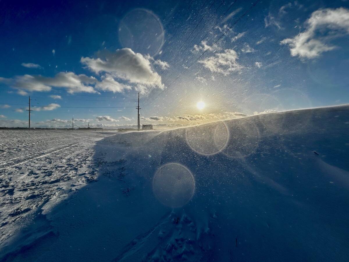
Why is the sky blue?
The colour of the skies, on the Prairies and elsewhere, tells the story of the paths sunlight takes as it enters Earth’s atmosphere, Daniel Bezte writes.
To begin, the weather models show an area of low pressure slowly tracking across the northern Prairies. As it makes its way into Quebec by the weekend, it will drag a cold front southward, bringing with it the chance of thundershowers or storms on Friday and Saturday and then cooler temperatures as a northwesterly flow develops. Daytime highs will start off in the upper 20s to around 30 C on Wednesday and Thursday and then cool down to the low 20s over the weekend.
Around July 25, the weather models show winds shifting from northwesterly to southwesterly as a ridge of high pressure begins building to our west. This switch will allow warmer temperatures to build and will also allow for more unsettled weather.
It looks like a weak but large area of low pressure will be pushed out ahead of the building ridge. Confidence in this part of the forecast is not that high, but should it materialize, we will have good chances for showers and thundershowers from Monday right through to Wednesday or Thursday.
Once that system moves through, it looks like the western ridge of high pressure will start to push eastward, bringing a return to hot and likely humid weather.
Usual temperature range for this period: highs, 23 to 32 C; lows, 13 to 18 C.


