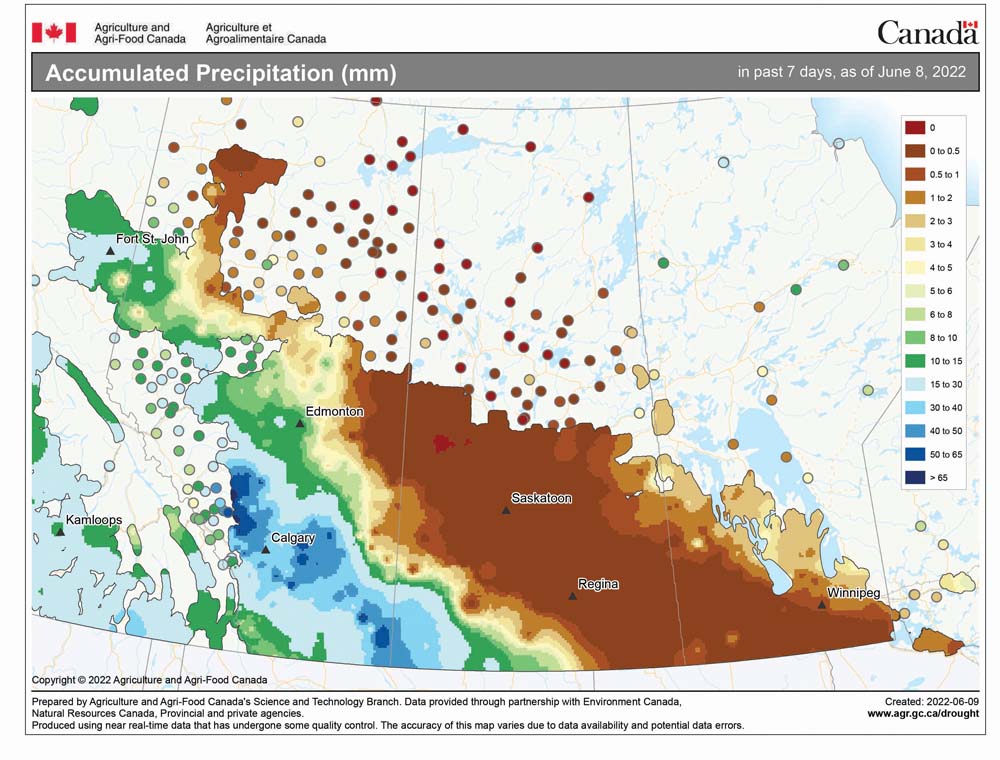
Surprise, surprise, surprise — the weather models did a pretty good job with last week’s forecast. We saw slowly warming temperatures with the chance of showers or thunderstorms over the weekend and into the early part of this week. The main question now is whether the dry weather will continue — or will we see a return to the wet weather we saw over the last two months?
After an unsettled start to the first full week of June, it looks like weak high pressure will once again settle in across our region, bringing a return of sunshine and warm temperatures. Expect daytime highs to warm into the mid-20s with overnight lows falling to around 12 C. As the weekend of June 17-19 rolls around, the weather models show an area of low pressure developing to our west. This will create a strong southerly flow ahead of the low, pushing daytime highs into the upper 20s for those regions that stay sunny.
The western low will begin pushing eastward on Saturday, bringing with it a good chance of showers and thundershowers. This unsettled weather is expected to continue right through the weekend and into the early part of the week of June 20. It currently does not look like this will be a multiple-day rain event, but rather, several days of unsettled weather with chances for showers and thunderstorms each day.
Read Also

Forecasting spring 2026 weather on the Prairies
What weather can farmers expect across Manitoba, Alberta and Saskatchewan as they head into seeding? Plus: a lesson on what makes the seasons turn
Once this period of unsettled weather moves by, the weather models show a return to more settled conditions, with temperatures running near or slightly above average for this time of the year — something we have not seen for several months now.
Usual temperature range for this period: highs, 20 to 29 C; lows, 7 to 15 C.