Last week’s weather was almost exactly what was expected. The strong weekend low did track a little farther north than forecast, but it still brought the anticipated stormy wet weather. Luckily, it looks like we’ll see some drier weather during this forecast period — I hope.
This forecast period begins with partly cloudy skies on Wednesday and the chance of some widely scattered thundershowers as a weak cold front pushes southeastward across our region. Temperatures ahead of this front will be mild, with highs expected to be in the mid-20s. High pressure will then build in on Thursday, Friday and Saturday, bringing mainly sunny skies and warming temperatures. High temperatures on Thursday will be in the low 20s, but should warm by 2 to 3 C each day.
Read Also
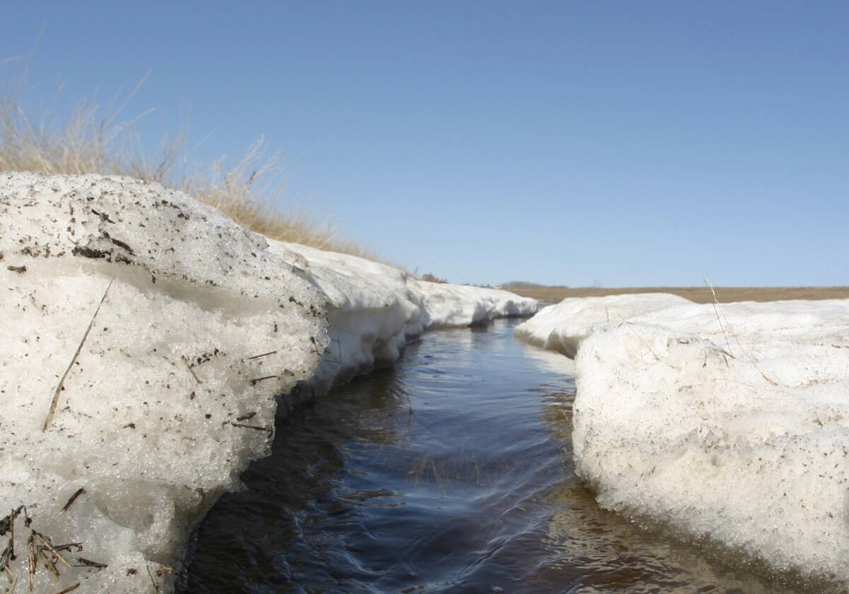
Forecasting spring 2026 weather on the Prairies
What weather can farmers expect across Manitoba, Alberta and Saskatchewan as they head into seeding? Plus: a lesson on what makes the seasons turn
Late in the weekend and into the first half of next week, the weather models show several weak systems that are expected to zip by us in a predominantly westerly to northwesterly flow. Currently, the weather models are keeping most of the precipitation from these systems to the south of our region, but the way things are going this year I wouldn’t count on it. Even if we do see a more northerly track, the strength and speed of these systems should result in only light amounts of precipitation.
It looks like we should see a mix of sun and clouds during this period with the chance of the odd shower or thundershower on any given day. Best chances look to be overnight Sunday and into Monday morning, and again late next Wednesday into Thursday morning. Temperatures will depend on the amount of cloud cover. Expect daytime highs in the low 20s if there are more clouds than sun, and the mid-20s if we see more sun than cloud.
Looking further ahead, the weather models hint at warm/hot weather moving in late next week.
Usual temperature range for this period: Highs, 21 to 30 C; lows, 9 to 16 C.


