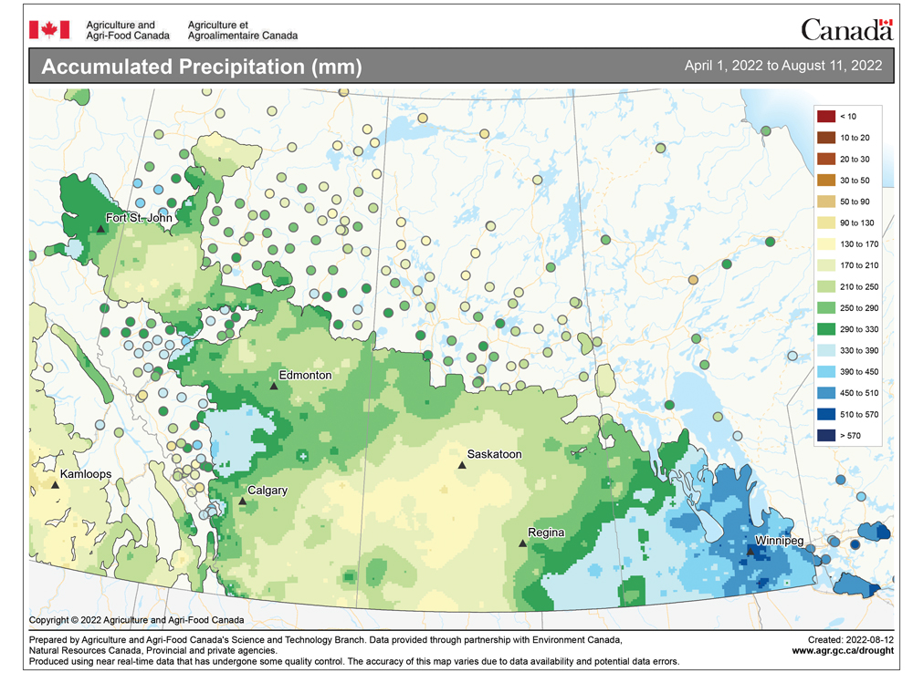
The forecast last week did not play out nearly as well as some of the previous forecasts. The main issue was that progression of the primary weather features across Canada slowed down. This not only threw off the timings on the systems, but it allowed some systems to strengthen while others weakened.
For this forecast period, confidence in the medium-range forecast has been growing, with the two main weather models both showing some late-summer heat building into the Prairies.
The slight instability we saw last weekend and into the early part of the week of Aug. 15 looks to stick around, bringing with it a mix of sun and clouds along with daytime temperatures in the mid-20s. It then looks like a building ridge of high pressure to our west will begin to expand and move east. This should bring a prolonged period of sunny, hot conditions.
Read Also
Why is the sky blue?
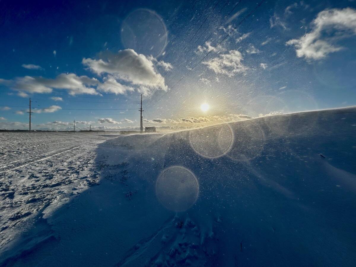
The colour of the skies, on the Prairies and elsewhere, tells the story of the paths sunlight takes as it enters Earth’s atmosphere, Daniel Bezte writes.
The heat should begin building on Thursday and Friday and be firmly entrenched by the weekend. We may see the odd thundershower during this time as weak disturbances ride over top of the building ridge.
By Sunday or Monday, the ridge should be well over us, preventing any storms from developing. Daytime highs will start in the mid- to upper 20s and warm into the low 30s by the weekend. These hot temperatures look like they will continue into the week of Aug. 22, with the weather models now showing daytime highs pushing the mid-30s in some areas by the middle of this week.
Unfortunately, overnight lows look like they will be fairly warm, only falling into the upper teens. A bit of good news is that the humidity does not look like it will be much of an issue, with dewpoints expected to remain in the mid-teens.
Looking a little further ahead, the weather models show this late-summer heatwave coming to an end around Aug. 28.
Usual temperature range for this period: highs, 20 to 28 C; lows, 8 to 14 C.


