Wind speed and direction are two of the toughest things to forecast. Normally, being off on these weather features does not have a large impact on the overall forecast, but when we are dealing with smoke, it certainly can. Now I am not saying the wind forecast was off in the last issue, but that uncertainty, along with the current forest fire situation, led to some rather smoky days. That smoke, as I wrote about in this week’s article, resulted in some notable effects on our weather, in particular, by reducing temperatures.
For this forecast period, it still does not look like we will see any big shifts in the overall weather pattern. The weather models show consistent upper-level ridging to our west with surface high pressure dominating our region. The one piece of good news is that the western ridge does not look like it will be overly strong, meaning the chances of seeing record-breaking heat are low. The bad news: little precipitation is expected.
As I pointed out, our weather will be dominated by an upper ridge to our west. We will see the occasional weak disturbance ride over the ridge, bring- ing slight chances for thundershowers or the odd isolated thunderstorm. The best chances to see any rainfall look to be on Thursday, July 29, and again on Saturday, Aug. 1. Otherwise, we should expect to see sunny to partly cloudy skies and continued warm to hot temperatures. Expect daytime highs to be in the upper 20s to low 30s with over- night lows dropping into the upper teens. We may see a short cooldown on the holiday Monday, but temperatures are forecast to warm back up quickly by the middle of that week. Any smoky days will knock down temperatures. For those of you not a fan of humidity, dewpoints look to be low for most of this forecast period, ranging from about 8 to 15 C.
Read Also
Why is the sky blue?
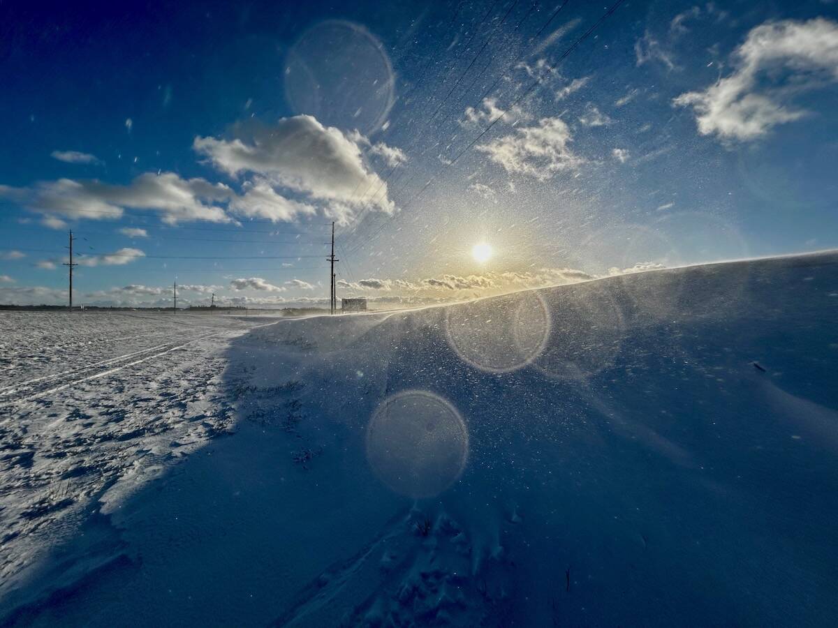
The colour of the skies, on the Prairies and elsewhere, tells the story of the paths sunlight takes as it enters Earth’s atmosphere, Daniel Bezte writes.
Looking further ahead, I still don’t see any signs of a significant shift in our current pattern, but more on that in next week’s issue.
Usual temperature range for this period: Highs, 22 to 30 C; lows, 11 to 17C.


