The forecasted cool-down did move in late last week as an upper low dropped southeastward out of northern Manitoba. What the weather models missed was the area of low pressure that moved through southern and central regions on Sunday, bringing clouds along with a few showers. This low worked in conjunction with an area of high pressure to our north to pull down some cool air to start this week — something the weather models missed.
It looks like this seasonably cool pattern will continue into the second half of the week (June 23-25) as a trough of low pressure pushes through. We will likely see a quick warm-up on Wednesday ahead of this trough before a mix of clouds, showers, and thundershowers move in on Thursday and Friday.
Read Also
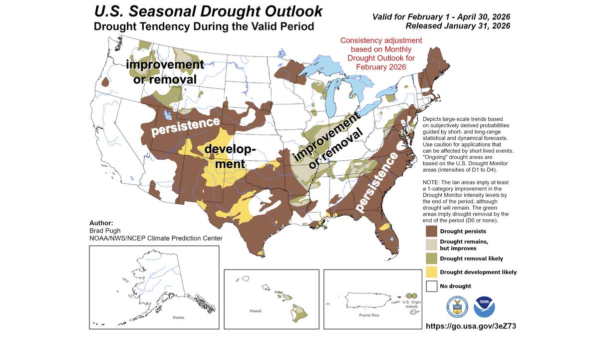
Neutral conditions drive 2026 weather as La Niña subsides
U.S. government meteorologist expects there will be neutral ENSO conditions for the 2026 farm growing season.
Beyond this point the outlook becomes a little muddled. Remember when I said it was finally a summer weather pattern, so forecasting should be a little easier? Well, not this part of the forecast period. The two main weather models I look at, GFS and CMC, diverge widely at this point. The GFS model shows an area of low pressure moving in from the west over the weekend of June 26-27, then stalling out over our region until the end of the month. If this does happen, expect plenty of clouds along with showers and thundershowers, especially in the afternoons, each day. Temperatures will also be cool, with daytime highs only making it to around 20 C.
If the CMC model is correct, the low will take a much more northerly route, keeping southern and central regions warm and dry to end the month. Since we have not seen the pattern the GFS model is predicting, I am leaning toward the CMC scenario of sunny and warm, but with the current drought conditions, a prolonged period of wet weather would definitely be good.
Usual temperature range for this period: Highs, 21 to 29 C; lows, 8 to 16 C.