Another week has come and gone, and the question remains: When will spring get here? Similar to last week’s forecast, the answer is, don’t hold your breath.
It is going to slowly get warmer as the amount of daylight and strength of the Sun increases, but the overall weather pattern continues to lean toward continuation of below-average temperatures.
This forecast period looks similar to the last one. We will start with Arctic high pressure in place as we remain in a northwesterly flow. This Arctic high will bring sunny skies and cool temperatures, with daytime highs struggling to make it within a couple of degrees of zero.
Read Also

VIDEO: What climate change data gets wrong about the Prairies
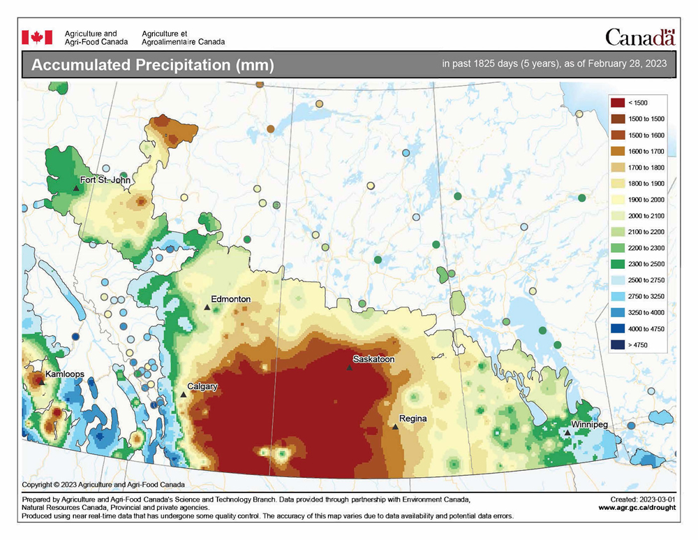
Precipitation, not temperature, may be a better gauge of climate change impact on the Prairies, says director of the Prairie Adaptation Research Collaborative.
By Thursday, the uncertainty of spring forecasts comes into play. The weather models show an area of low pressure once again developing to our southwest and lifting northeast.
Similar to all other storm systems we have seen over the last month, it looks like the Arctic air will keep the majority of the precipitation from this storm to our south, with only extreme southern regions possibly picking up some snow. As with any storm system originating from our southwest, we will need to keep an eye on this system.
We should see a return to sunshine to start the weekend as a weak ridge of high pressure builds in, but the weather models show a quickly moving area of low pressure coming in off the Pacific and zipping across the southern Prairies on Sunday.
There is the potential for some regions to see five centimetres of snow from this system, but its speed should limit totals.
Behind this low, Arctic high pressure will build again to start the first week of April, bringing a return to sunny skies and continued cool temperatures. Daytime highs look as though they will struggle to reach the freezing mark, with overnight lows falling into the -15 C range, which is near the lower end of the usual temperature range for this time of the year.
Usual temperature range for this period: highs: -4 to +8 C; lows: -16 to -4 C.