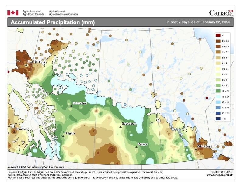
The last forecast period did not materialize exactly as predicted but the end results were pretty close. We saw several lows drop south to southeastward every couple of days early in the forecast period, bringing light snow. What we did not see was much in the way of clear skies during that period, as the areas of high pressure trapped moisture near the surface, which helped to maintain the cloudy to partly cloudy skies.
During the second half of the forecast, arctic high pressure finally won out, bringing with it the forecasted clear skies and seasonably cold temperatures.
For this forecast period, I want to first point out that the confidence levels in weather models are not that high. They are not in consensus on the finer details. That said, the models have been fairly consistent with the big picture, and that big picture points toward milder temperatures with low chance of significant snowfall.
Read Also
How Earth evens out the energy input
Earth has surpluses of radiation in its equatorial regions, and deficits toward its poles. Our weather is a matter of Earth trying to even out the imbalance, Daniel Bezte writes.
It looks like we will see a series of low-pressure systems move in from the Pacific and track across the central or northern Prairies. The more northerly tracks of these systems should keep significant snowfall well to our north. With the model uncertainties, a southern shift could bring a little more snow.
The first low is expected around the start of this forecast period. Warm air ahead of this system should allow temperatures to warm into the -3 C to 0 C range. We should see a short cooldown behind this low before a second low tracks to our north over the weekend. Once again, daytime highs should warm back toward the freezing mark, with only a dusting to a few centimetres of snow expected.
The final in this series of lows is forecasted to move through early next week. Being the furthest out in the forecast, confidence is low, but should it track as expected, this low will bring the warmest air of this forecast period into our region, with daytime highs pushing to above 0 C in most areas.
Usual temperature range for this period: highs, -8 to 3 C; lows, -17 to -4 C.


