With the official beginning of astronomical spring, it looks more and more like we’ll finally see some of the above-average temperatures the weather models have been predicting for nearly a month now. While this might be good news for some, it might be a concern for those worrying about spring flooding. Before we dive into the forecast, looking back at last issue’s forecast we find the weather models did a darned good job forecasting the large Colorado low and were only a little bit off on last weekend’s temperatures.
Read Also

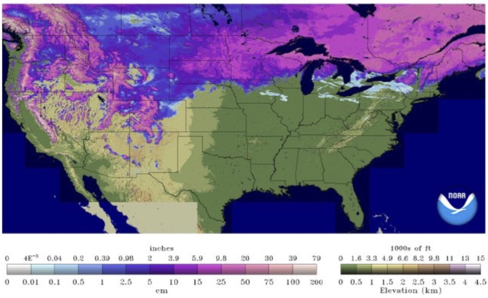
Forecasting spring 2026 weather on the Prairies
What weather can farmers expect across Manitoba, Alberta and Saskatchewan as they head into seeding? Plus: a lesson on what makes the seasons turn
This forecast period will begin with very mild temperatures as a ridge of high pressure builds to our south and west. The clockwise flow around this ridge will help to pull nice mild air to our west and then push it across the Prairies. High temperatures on Wednesday are forecast to be in the +4 to +6 C range with overnight lows only dropping a few degrees below 0 C. The models hint at daytime highs possibly as warm as +10 C on Friday. I can only see this happening over the higher elevations in western areas or any areas that become snow free by Friday.
Over the weekend the weather models show a disorganized area of low pressure developing to our southwest, then drifting northeast over the weekend. This system will bring mainly cloudy skies along with a good chance of showers or light rain. Temperatures look to remain warm, with highs continuing to be in the +5 to +8 C range. With the cloud cover and showers, it looks like overnight lows will remain above freezing, helping to accelerate the snowmelt.
It then looks like we’ll see a bit of a cool-down to begin next week, but overall, temperatures still look to stay above freezing. The models also show a couple of chances for additional rainfall next week, which would further exacerbate the spring flooding.
Usual temperature range for this period: Highs, -7 to +6 C; lows, -19 to -7 C.