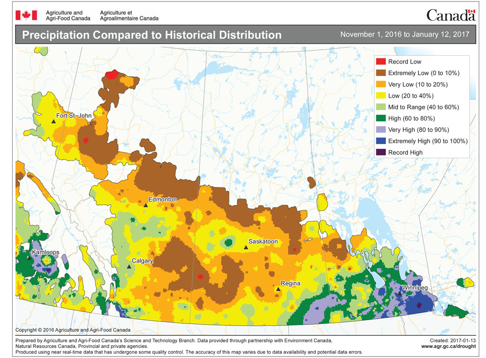
The warm weather arrived as forecast, with mild Pacific air finally pushing out the cold arctic air. This mild air looks to stick around for at least this forecast period. The big question is whether we’ll see more significant precipitation.
This forecast period begins with high pressure dominating much of Western and Central Canada and the U.S. This high, combined with a large area of low pressure off the West Coast, will continue to pump plenty of mild Pacific air across the Prairies. We should see plenty of sunshine along with daytime highs running near or even above the 0 C mark. Also, expect overnight lows to be mild with temperatures expected to be in the -5 C range.
Read Also

How Earth evens out the energy input
Earth has surpluses of radiation in its equatorial regions, and deficits toward its poles. Our weather is a matter of Earth trying to even out the imbalance, Daniel Bezte writes.
Things start to get interesting over the weekend and into next week as the weather models try to bring more active weather into our region once again. The weather models have been consistent in bringing an area of low pressure due north out of the southern U.S. over the weekend. The latest model runs have weakened this system, but they still show some light snow or even rain falling over the weekend. Confidence in this system is fairly low.
It then looks like our active December pattern might redevelop, with the weather models hinting at a Colorado low developing next Wednesday, bringing with it another chance of measurable snow later in the week. As usual, that system is a long way off, so confidence levels are quite low, but with the way things have been going this year, it is definitely something to watch out for.
Usual temperature range for this period: Highs, -23 to -6 C; lows, -34 to -16 C.