We have definitely undergone a major shift in our weather pattern thanks to last week’s large and slow-moving upper low. This upper low formed as originally forecast and actually followed the forecasted track. What it didn’t follow was the timeline. The low moved into northwestern Ontario as expected last Friday, but then stuck around until early this week. This put us in a very cool and unsettled northwesterly flow late last week and over the weekend.
For this forecast period, it looks like we are going to remain in the same northwesterly pattern with several weak areas of low pressure rotating in from the west and northwest. The first and strongest low is expected to move through central regions on Wednesday and Thursday, bringing clouds and showers to the south, with more organized rain over central regions. Temperatures will continue on the cool side due to the clouds and showers.
Read Also
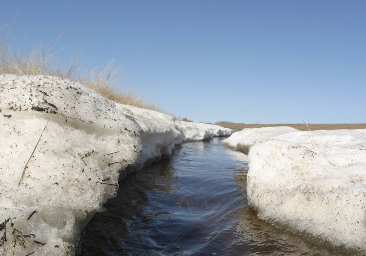
Forecasting spring 2026 weather on the Prairies
What weather can farmers expect across Manitoba, Alberta and Saskatchewan as they head into seeding? Plus: a lesson on what makes the seasons turn
We should see a little bit of a break on Thursday and Friday, but don’t expect beautiful sunny skies. The mid-week low is forecast to slow down and deepen over Ontario, which will help to once again drag down additional waves of energy that are rotating around the Ontario low. This will result in a mix of sun and clouds on Friday, Saturday and Sunday, along with the odd shower or thundershower. Temperatures will be a little warmer thanks to the partly cloudy skies, with daytime highs expected to be in the low 20s.
This pattern of partly cloudy skies with a chance of showers will continue into Monday before the weather models show high pressure moving in, bringing sunny skies and warmer temperatures for Tuesday and Wednesday. Further ahead, it looks like our weather pattern will switch once again late next week. This time we’ll be moving toward a more southwesterly flow, which usually results in warm but unsettled weather. As usual, that is a long way off and plenty can happen between now and then.
Usual temperature range for this period: Highs, 21 to 29 C; lows, 8 to 16 C.


