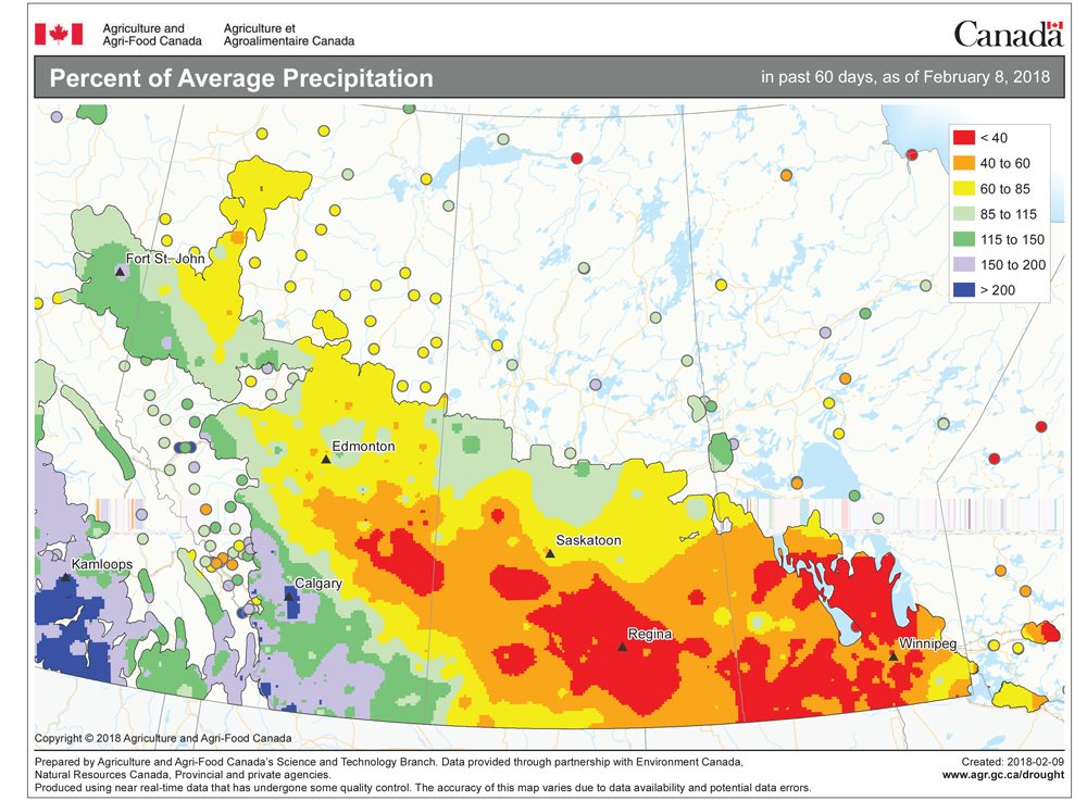
With the polar vortex still firmly in place, our weather forecasts have been predictable, and once again last week we saw the weather play out darned close to what the weather models had predicted. Arctic air dominated right through the weekend and some areas even saw a little light snow Sunday as the forecast weak area of low pressure cut through central and eastern regions. The timing of the main forecast features did fall apart during the final part of the forecast, as the predicted push of warmer air moved in a little quicker than expected.
Read Also
How Earth evens out the energy input
Earth has surpluses of radiation in its equatorial regions, and deficits toward its poles. Our weather is a matter of Earth trying to even out the imbalance, Daniel Bezte writes.
For this forecast period, it looks like the polar vortex isn’t totally breaking down. After a mild start to the week, temperatures are going to cool back down Thursday and Friday as arctic high pressure pushes in. Over the weekend we will see temperatures moderate as an area of low pressure comes in off the B.C. coast and moves across central North America. The weather models are having a hard time determining just how this low will evolve, so confidence in this part of the forecast is low. There is the potential for some accumulating snow from this low, with extreme southern regions seeing the best chance late in the weekend as the main energy moves through the Dakotas.
Behind this system we will see yet another arctic high drop south from the Yukon, bringing a return to colder temperatures. Expect daytime highs to be in the -14 to -18 C range with overnight lows around -25 C. The high is forecast to drop well to our south by the end of next week, which will place us in a more westerly flow starting Wednesday or Thursday. Combine this with a predicted weakening of the polar vortex and it is likely slightly above-average temperatures will move in starting late next week.
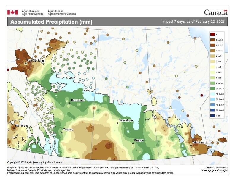
Except for next weekend, the weather models are not showing any significant chances of snow any time before the end of the month.
Usual temperature range for this period: Highs, -17 to -3 C; lows, -30 to -11 C.


