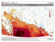
The general weather pattern hasn’t changed much over the last week across North America. A large area of high pressure is situated over central North America, with a large area of low pressure over the Gulf of Alaska. This means we will be seeing a continuation of our warm and relatively dry weather for at least one more week.
This forecast period begins with a rebuilding ridge of high pressure across our region that should bring plenty of sunshine along with very mild temperatures on Wednesday. Expect daytime highs to exceed the usual temperature range for this time of the year, with a few areas possibly seeing record highs. An area of low pressure is then forecasted to slide quickly through central Manitoba on Thursday, bringing clouds and a few showers along with it. This low will drag a cold front with it that will knock our temperatures down a little bit on Thursday and Friday, with highs expected to be in the 5 C range.
Read Also
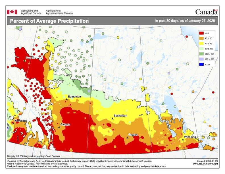
What’s the weather for last half of winter 2025-2026?
A last look at 2025 temperature and precipitation on the Prairies, plus what weather forecasters expect through to spring 2026.
Over the weekend, we will see high pressure once again start to build across our region bringing a return to sunny and mild conditions. This ridge doesn’t look like it will be as warm as the one we experienced last week. It does look like we should still see daytime highs near the 10 C mark, with overnight lows around zero, which is 10 C above long-term averages for this time of the year.
This ridge is forecasted to stick around for Monday and Tuesday before finally pulling off to the southeast. After this the weather models are showing a shift in the overall weather pattern as the energy from the Gulf of Alaska low begins pushing eastwards across north-central Canada. Exactly what impact this will have on our weather is a little uncertain at this time, but it does look like temperatures will return to more seasonal values by the end of next week.
Usual temperature range for this period: highs, -6 to 6 C; lows, -15 to -2 C. Probability of precipitation falling as snow: 75 per cent.


