Last week’s forecast played out fairly well based on the series of events, but the timing was off by a couple of days. The warm weather moved in over the weekend as expected, but the warmest weather stayed to our west, with numerous records for heat broken in Saskatchewan.
This forecast period will start off on the cool side as cool high pressure builds in behind the low that brought some snow during the first part of the week. Previously, the weather models were showing very cold air moving in, but have backed off significantly on this happening. The latest model runs show the coldest air staying well to our northeast. With high pressure sliding by to our south and west, we should expect plenty of sunshine during the second half of the week, along with daytime highs around -14 C and overnight lows around -20 C, which is right around average.
Read Also
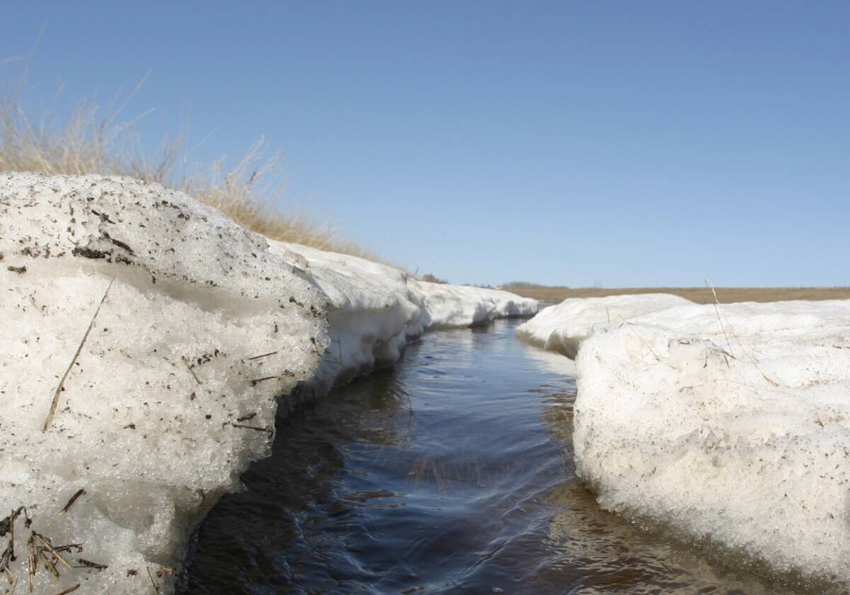
Forecasting spring 2026 weather on the Prairies
What weather can farmers expect across Manitoba, Alberta and Saskatchewan as they head into seeding? Plus: a lesson on what makes the seasons turn
Over the weekend a second area of cool high pressure is forecasted to track southeast out of the Yukon, passing by to our southwest early next week. Once again this will help to keep us mainly sunny with temperatures remaining near or slightly below average.
The weather pattern then looks to start changing around next Tuesday as the flow becomes more westerly. A weak area of low pressure is forecast to track through southern or central Manitoba on Wednesday, bringing with it clouds along with a few flurries. This system will precede what looks to be a significant warming trend, with daytime highs by Wednesday expected to be around -5 C. Even warmer air is forecast to move in later next week, with some weather models showing daytime highs reaching +2 C by Friday.
Usual temperature range for this period: Highs, -21 to -5 C; lows, -32 to -14 C.


