Once again, Mother Nature decided to follow her own agenda, and while she only tweaked things a little bit, it resulted in fairly significant changes for our region.
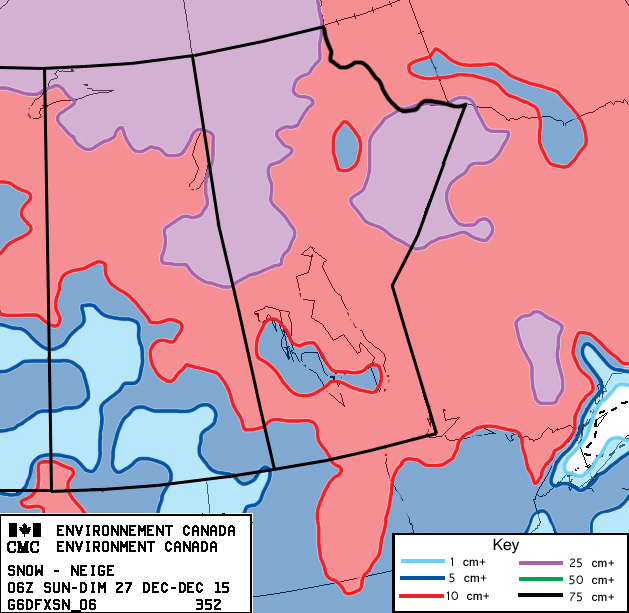
Last week’s storm system did not pan out as forecast, with the southern system becoming much stronger than expected, and it pushed a little further north. This system then became very strong as it moved northeast into the Arctic. This allowed for much colder air to drop in behind the system, bringing the first -30 C temperatures to southern and central regions so far this winter.
Read Also
Forecasting spring 2026 weather on the Prairies
What weather can farmers expect across Manitoba, Alberta and Saskatchewan as they head into seeding? Plus: a lesson on what makes the seasons turn
For this forecast period, high pressure will dominate our weather, meaning a fairly quiet end to the calendar year. A fairly large area of Pacific high pressure will be building over the western U.S. during the first half of this forecast period. At first, this will keep us in a cool northwesterly flow, but as the high gets more established and begins to drift eastward, our flow will become more and more westerly as the week moves on. This will result in mild Pacific air slowly moving in, which will push our daytime highs to around -3 C by Friday.
Over the weekend, this Pacific high will be centred over the eastern U.S., which will place us in a southwesterly flow. Skies should continue to be sunny, with daytime highs in the -1 to -4 C range and overnight lows around -10 C.
Temperatures look like they’ll cool down a little bit around mid-week as an area of low pressure tracks across the Arctic and drops a cold front through our region on Wednesday. While it will be cooler, highs will still be running about 5 C above average, with little to no snow expected.
Usual temperature range for this period: Highs, -21 to -5 C; lows, -31 to -15 C.


