We finally saw some sustained dry weather during this last forecast period, but as forecast, thunderstorms did make an appearance late in the long weekend, bringing some rain to our region.
For this forecast period, it looks like the drier weather will stick around as high pressure once again dominates. Just like the last forecast, that doesn’t mean there’ll not be any thunderstorms kicking around. In fact, this forecast period will begin with an area of low pressure tracking quickly through our region, bringing more clouds than sun, along with the chance of some showers and thundershowers. This system should be off to our east by Thursday, with high pressure building in for the rest of the week and over the weekend.
Read Also
Why is the sky blue?
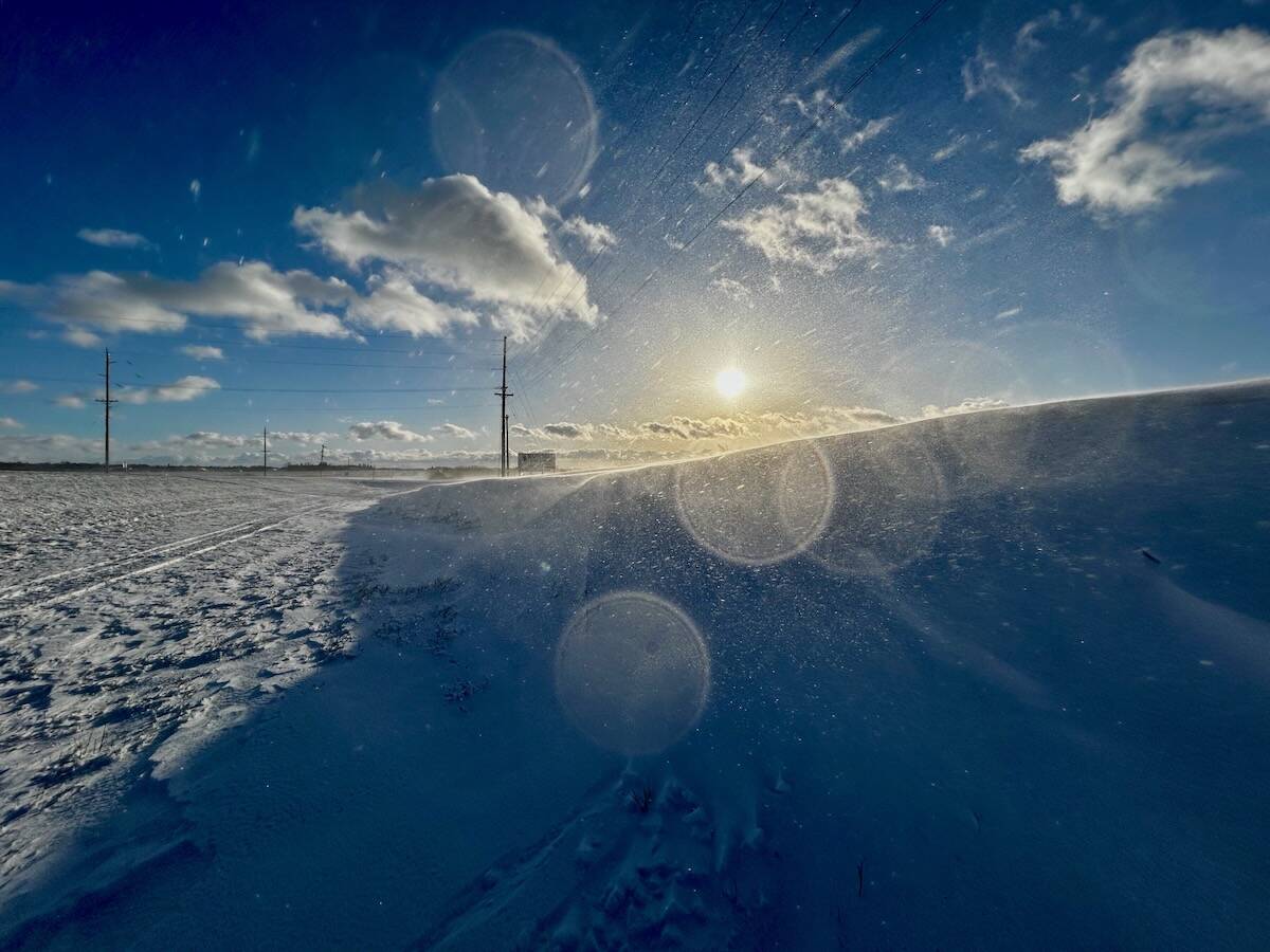
The colour of the skies, on the Prairies and elsewhere, tells the story of the paths sunlight takes as it enters Earth’s atmosphere, Daniel Bezte writes.
This high will bring mainly sunny skies and lower humidities and typical midsummer temperatures, with highs expected to be in the mid- to upper 20s and overnight lows in the mid-teens. The weather models show this high slowly moving off to the east by Monday or Tuesday of next week. This will place us in a southerly flow that will help bring a return to high humidities. It will also allow a weak area of low pressure to slide through our region, bringing with it a mix of sun and clouds along with the chance of the odd shower or thunderstorm. Temperatures look to continue warm, with high pressure building back in by Wednesday.
Looking further ahead, the weather models show relatively dry and warm weather continuing right through to at least the middle of August.
Usual temperature range for this period: Highs, 23 to 31 C; lows, 13 to 18 C.


