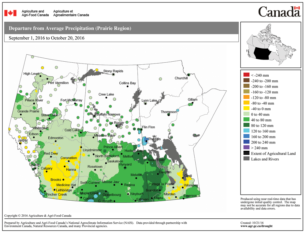
Another tough forecast period coming up — not because of any strong storm systems, but rather because we appear to be stuck with a weak steering flow, along with fairly weak weather systems. Add these together and they make for tough day-to-day forecasting. Last week’s weather was much the same, and while the overall forecast played out pretty close to what was expected, trying to figure out if it would be sunny, cloudy or foggy was extremely tough. We also saw a small system intensify briefly as it crossed southern regions late last Saturday and into Sunday morning, bringing with it five to 15 mm of rain.
Read Also
Forecasting spring 2026 weather on the Prairies
What weather can farmers expect across Manitoba, Alberta and Saskatchewan as they head into seeding? Plus: a lesson on what makes the seasons turn
For this forecast period we’ll begin with high pressure to our northeast and a developing area of low pressure to our west. This will result in mild weather as the western low quickly tracks across northern regions. Most of the precipitation from this low should stay over northern regions, with the southern half of the province only seeing a mix of sun and clouds. The weather models then show another low quickly zipping through from the west on Friday. This low is forecast to track a little farther south, bringing clouds and some showers to southern areas, with the best chance of rain over central regions.
High pressure should dominate our region through the weekend, but just how much sunshine we’ll get is a little uncertain. Temperatures look to continue to be on the mild side, with daytime highs expected to be in the 6 to 9 C range with overnight lows near to just below freezing.
Halloween Monday looks to be fairly pleasant, with sunny to partly cloudy skies. The daytime high looks to be mild, with overnight lows staying quite warm (2 to 4 C) thanks to an increasing southerly flow ahead of an area of low pressure. This low is forecast to move in from the west on Tuesday, bringing with it clouds and the chance of showers over southern and central regions.
Usual temperature range for this period: Highs, 1 to 13 C; lows, -9 to +2 C. Probability of precipitation falling as snow: 50 per cent.


