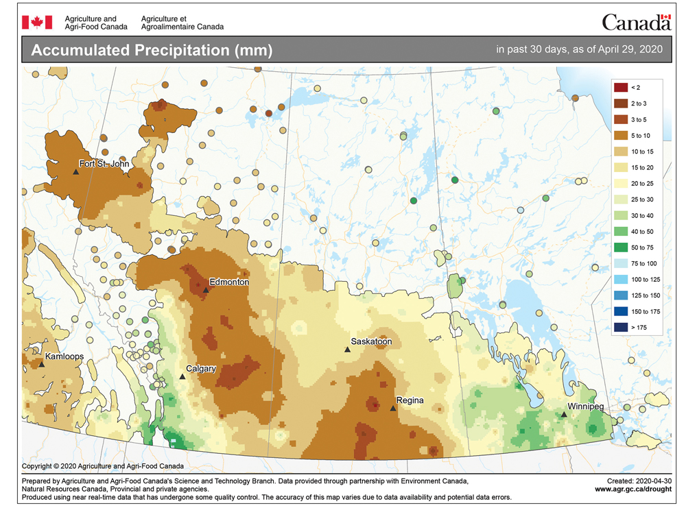
Well, as it is starting to look and feel a little more like spring out there, I wish the latest forecast was as rosy looking as the last. During the last forecast period we saw warm air work in as expected, and several areas saw their first 20 C day of the year. The strong area of low pressure tracked across central regions as expected and slightly cooler air moved in behind the low. All in all, not too bad.
For this forecast period, the weather models have been showing the cool weather pattern we saw during the first half of April trying to re-establish itself. Confidence is not super high for this period, but the latest trend shows a large trough of low pressure developing over Eastern Canada. This will place us in a northwesterly flow. In this flow we will see a series of arctic highs and northern Alberta lows dive southeastward, bringing a mix of weather conditions.

This forecast begins with arctic high pressure building southward, bringing mainly sunny skies and daytime highs in the 10 to 12 C range with overnight lows around -5 C. Over the weekend, the models show an area of low pressure forming over northern Alberta and quickly moving southeastward, exiting Manitoba by early next week. This low will bring clouds, showers and maybe some snow depending on the timing (day or night).
Behind this low the models show another area of arctic high pressure dropping southward during the first half of next week. This means a return to sunny skies, but continued cool temperatures.
Finally, there are hints that warmer weather will move back in around the middle of the month. Let’s keep our fingers crossed!
Read Also
Forecasting spring 2026 weather on the Prairies
What weather can farmers expect across Manitoba, Alberta and Saskatchewan as they head into seeding? Plus: a lesson on what makes the seasons turn
Usual temperature range for this period: Highs, 8 to 23 C; lows, -2 to +7 C.


