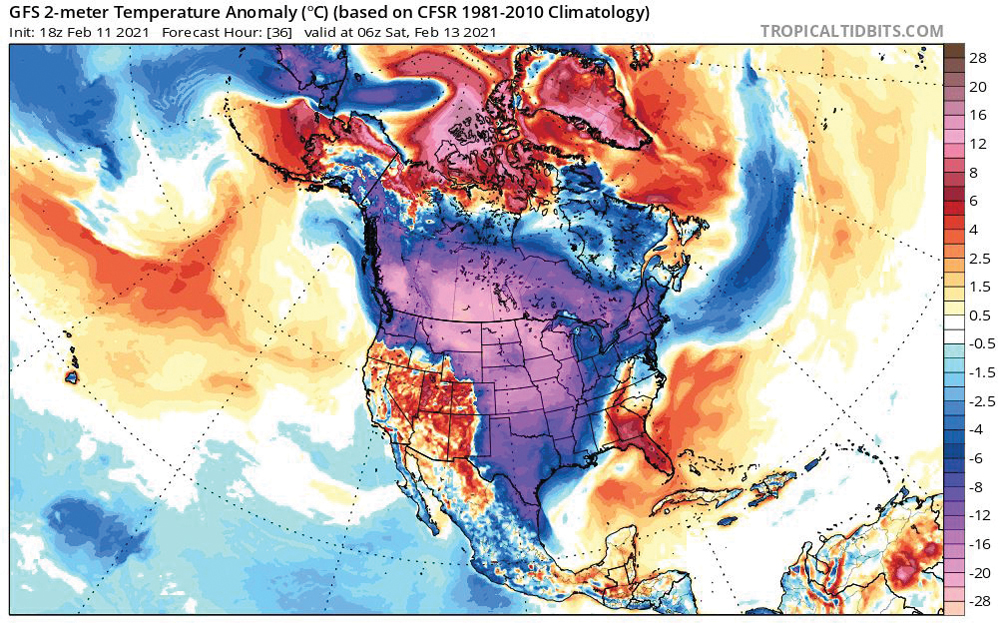
The weather models did a heck of a job with last issue’s forecast as we saw the upper low drop southward into our region as predicted, bringing the sunny skies and cold, cold temperatures. Temperatures ended up being even colder than expected, but the light winds did materialize which made the cold temperatures a little more bearable.
For this forecast period, it looks like we will slowly work our way out of this two-week cold snap as the core of the arctic air moves off to the east and moderates. At the same time, the surface ridge of arctic high pressure will be sliding off to the east, placing us in the return southwesterly flow on the back side of the high. Temperatures will begin to moderate earlier in the week and will continue to warm, with daytime highs by Friday rising to around -10 C and overnight lows falling to around -18 C.
Read Also

How Earth evens out the energy input
Earth has surpluses of radiation in its equatorial regions, and deficits toward its poles. Our weather is a matter of Earth trying to even out the imbalance, Daniel Bezte writes.
Over the weekend, the weather models show an area of low pressure tracking by well to our south. Extreme-southern regions may see some scattered clouds, but any snowfall looks to remain to our south. Temperatures will continue to be near the seasonal average.
Early during the week of Feb. 22, the weather models show a large area of low pressure slowly developing off the West Coast and then dropping southward toward California by late in the week. The counter-clockwise rotation around this low will help to pump warm air into central North America. This southerly-to-southwesterly flow will slowly push temperatures to above average by Feb. 24 or 25. This pattern, should it develop, could also lead to some precipitation by the end of the month — something most regions could use.
Usual temperature range for this period: Highs, -3 to -18 C; lows, -30 to -11 C.