I’m not sure what cliché I should begin this forecast with. I could go with, “Sure hope you enjoyed last weekend’s weather,” or maybe, “We all knew this nice weather would come to an end eventually.” Or how about, “Don’t tempt Mother Nature by predicting that no storms will hit us!” (See last week’s forecast.) No matter which one you choose, it looks like our weather pattern will take a dramatic shift toward winter.
This forecast period will start off with a Colorado low sliding by to our southeast. This low looks to bring plenty of clouds, along with some rain, to extreme southern and most of southeastern Manitoba on Wednesday. At the same time, a strong Alberta clipper will develop over central Alberta and will quickly track into central Manitoba late Wednesday. These two systems will then merge into one large system, bringing all sorts of nasty winter weather. The big question with a complex system like this is, just where and how much snow will fall once the cold air works into the system late Wednesday or early Thursday?
Read Also
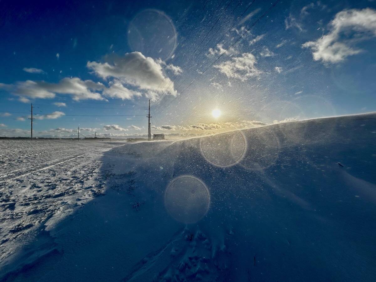
Why is the sky blue?
The colour of the skies, on the Prairies and elsewhere, tells the story of the paths sunlight takes as it enters Earth’s atmosphere, Daniel Bezte writes.
Early indications are that central regions will see the most snow, with some isolated amounts of up to 15 cm possible. Farther south and to the west, amounts will be less, with only two to five cm expected. Very strong northerly winds behind this system will result in temperatures falling well below freezing and will definitely make it feel like winter on Thursday.
An area of high pressure will build in on Friday, bringing clearing skies along with windy and cool weather and highs expected in the -5 C range. If we get significant snow, overnight lows will be in the -13 to -16 C range; otherwise, expect lows to be in the -10 to -13 C range. Another low is then forecast to drop quickly southeast, bringing another chance of light snow late Sunday. This low will slow down and strengthen over northern Ontario early next week, which should keep us in a cool northerly flow.
This active wintery pattern looks to continue with another Alberta clipper possible around mid-week.
Usual temperature range for this period: Highs, -11 to +2 C; lows, -20 to -6 C. Probability of precipitation falling as snow: 95 per cent.


