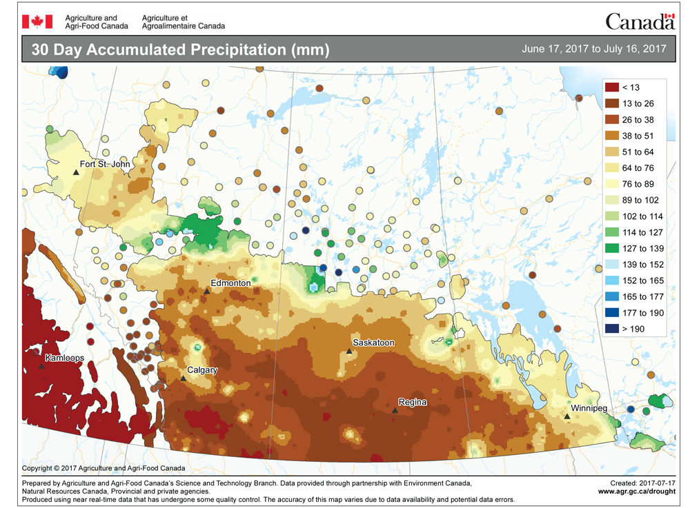
Last week’s forecast began with a much-stronger-than-anticipated area of low pressure that brought some welcome rains to a good portion of southern and central Manitoba. The rest of the forecast played out fairly well, but once again, the forecast heat didn’t really materialize as the western ridge of high pressure is continually knocked down every time it tries to push eastward into our region.
For this forecast period we’ll start off with a weak system on Wednesday that will bring a mix of sun and clouds along with the chance of the odd shower or thundershower. Weak high pressure is then forecast to build back in on Thursday and Friday. At the same time, a complex trough of low pressure is forecast to develop to our west. While we should see mainly sunny skies, don’t be surprised if we also see the odd scattered thundershower move through. Temperatures should be seasonable with highs in the mid- to upper 20s expected.
Read Also
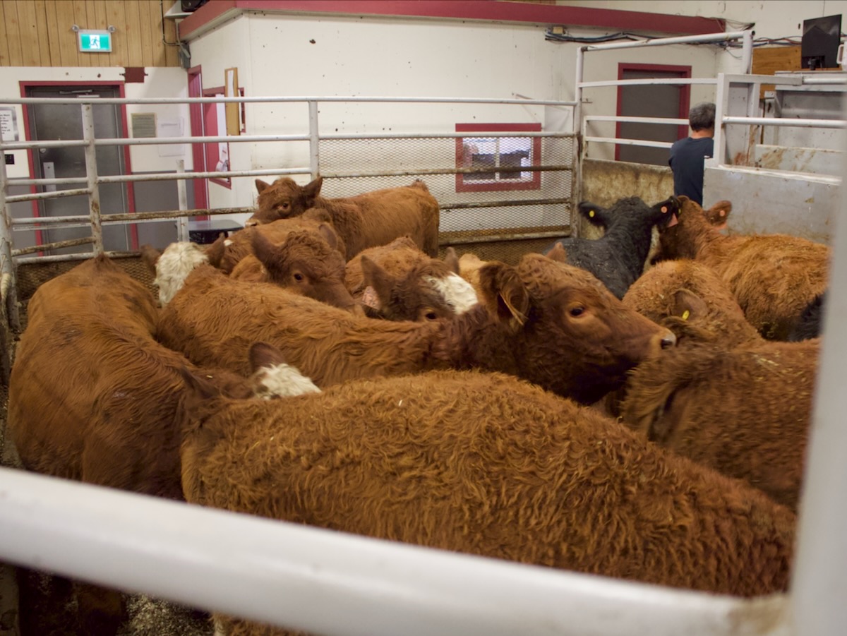
Manitoba cattle prices, March 11
Your weekly table of price ranges for beef cattle from seven Manitoba auction markets during the week ending March 10, 2026.
As this trough pushes eastward we should see the main energy move through on Saturday bringing mainly cloudy skies along with a good chance of showers and thundershowers. The low should push east of our region by Sunday, allowing for clearing skies as high pressure builds back in. This area of high pressure is forecast to slide quickly to our east early next week and will once again put us into a position where bits of energy riding over the western ridge will periodically move through our region, bringing with them the chance of scattered showers or thundershowers. The timing of these weak systems is difficult, but the best chances look to be sometime on Monday. Temperatures will continue to be seasonably warm.
Looking further ahead, the weather models continue to predict very warm temperatures moving into our region. The latest model runs show high pressure to our east and developing low pressure to our west during the second half of next week. This will allow for a strong push of warm air, with highs forecasted to be in the low to mid-30s. We’ll have to wait and see if it actually happens this time.
Usual temperature range for this period: Highs, 23 to 31 C; lows, 13 to 18 C.