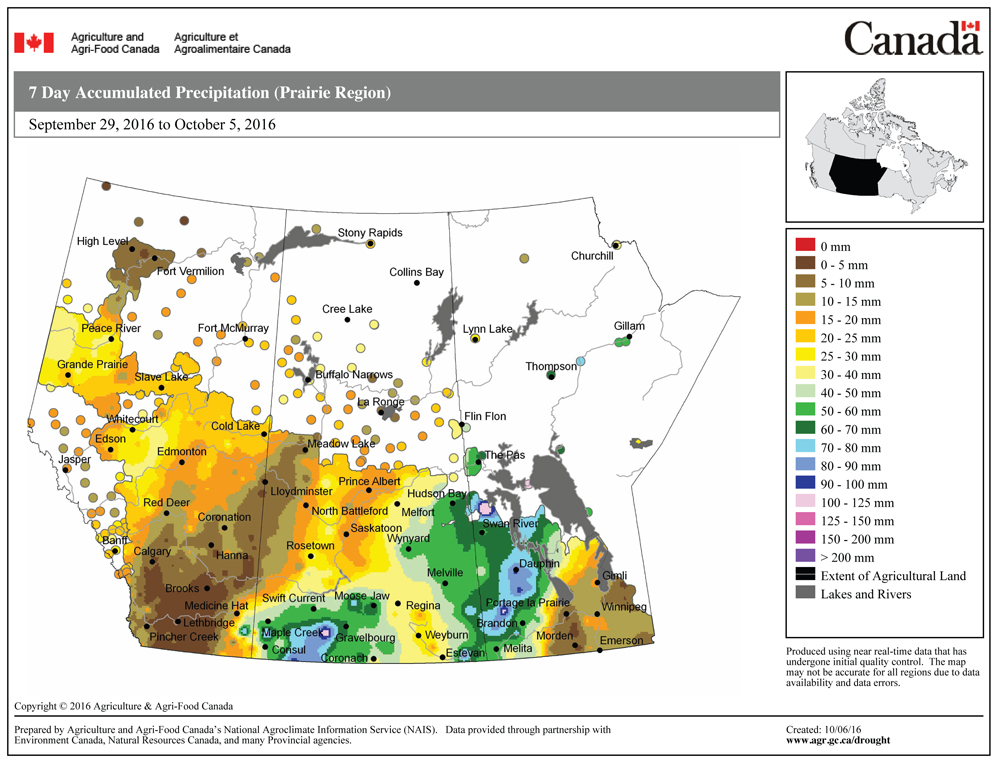
Last week’s large and dominating upper low developed as expected, bringing significant amounts of rain and even some snow to western and northern regions. Believe it or not, high pressure did move in behind this system, but the high contained a lot of low clouds that kept daytime highs cooler than expected and overnight lows warmer.
This forecast period will be dominated by a huge area of low pressure off the West Coast of British Columbia. Cool high pressure will be in place across our region to start, but like last weekend’s high, there will be some clouds around during the day. The coldest temperatures will be on Wednesday or Thursday morning with readings expected to be in the 0 to -4 C range.
Read Also
Forecasting spring 2026 weather on the Prairies
What weather can farmers expect across Manitoba, Alberta and Saskatchewan as they head into seeding? Plus: a lesson on what makes the seasons turn
By Friday, the high will have drifted off to the east. At the same time, some of the energy from the western low will push into Saskatchewan developing an area of low pressure. This will help to create a southerly flow across our region, which should boost daytime highs into the mid-teens.
The Saskatchewan low is forecasted to track through northern Manitoba over the weekend. We will likely see a little bit of a cooldown on Sunday as the low drags a weak cold front across our region. The weather models then show another piece of energy breaking off the western low early next week and developing another area of low pressure in Saskatchewan. We can expect to see clouds along with a few showers on Monday as a warm front tries to push northward ahead of the low. Temperatures by Tuesday should be mild, with highs expected to be back in the mid-teens. This low is forecast to track to our south, bringing the chance of some showers by Wednesday or Thursday of next week.
Usual temperature range for this period: Highs, 6 to 18 C; lows: -4 to +6 C.


