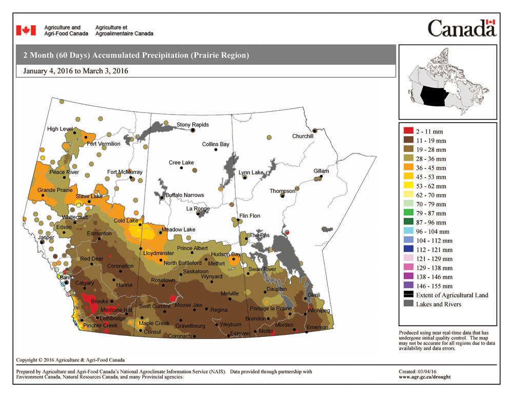
From a forecasting point of view, you can really tell we are starting to move into spring, as it’s this time of the year when weather models often have a hard time “figuring out” just what’s going on. We saw some of this with last week’s forecast as some areas cleared out and saw plenty of sunshine, while other areas struggled with cloud cover. Areas without snow cover saw very mild temperatures, while snow-covered areas were cooler.
For this forecast period it really looks like spring will make some inroads as very mild air tries to push northward out of the U.S. It is a little uncertain just how far this warm air will get, but confidence is pretty high that all of southern and most of central Manitoba will see temperatures at or above the usual temperature range for this time of the year. These mild temperatures are partly due to a southern shift in the storm track coming in off the Pacific.
Read Also
Forecasting spring 2026 weather on the Prairies
What weather can farmers expect across Manitoba, Alberta and Saskatchewan as they head into seeding? Plus: a lesson on what makes the seasons turn
We should see high temperatures for this week and into the weekend in the +5 C range, with the possibility of some +10 C readings late this week and once again early next week, especially in areas that have no snow cover. How much sunshine we’ll see is a little uncertain, as several areas of low pressure will affect our region during this period.
The first low is expected to slide across north-central regions on Friday, with a second area of low pressure expected to move in on Monday or Tuesday. Precipitation with both systems looks to be light, and any precipitation that does fall will likely be in the form of rain, with maybe a little light snow as the lows depart. Looking further ahead, the models currently point toward more seasonable temperatures for the latter half of next week.
Usual temperature range for this period: Highs, -11 to +3 C; lows, -24 to -7 C.


