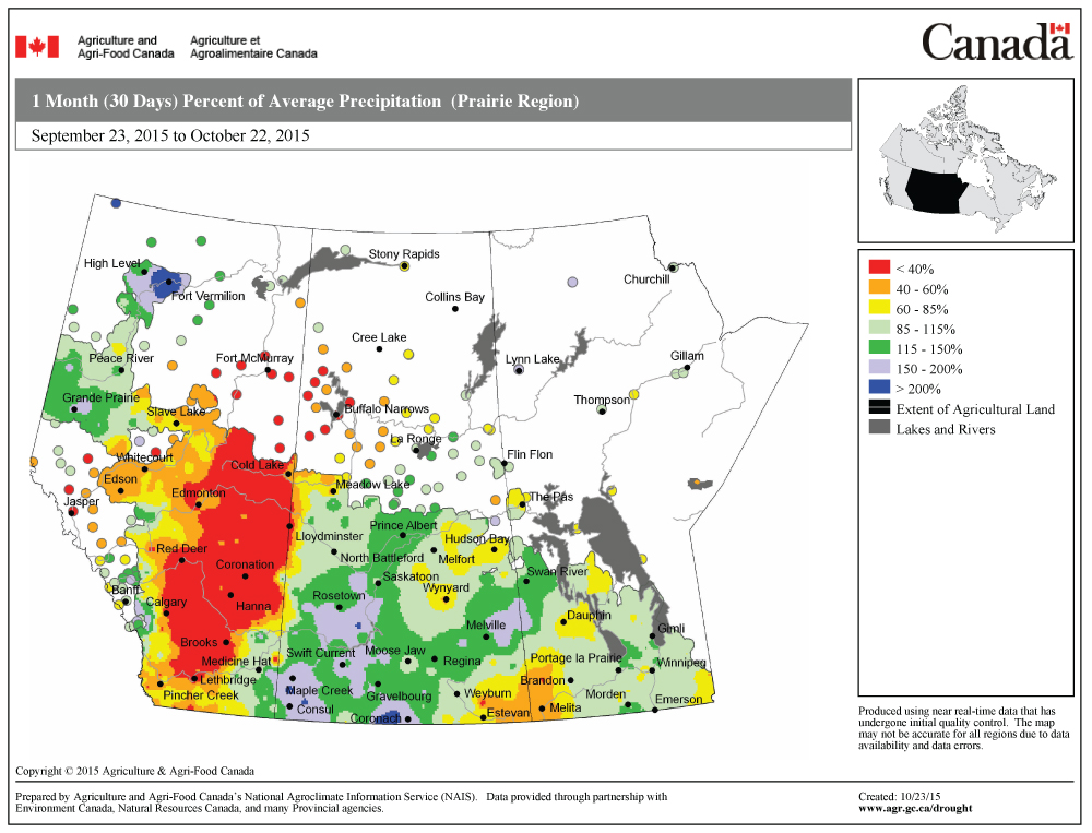
Once again, the first part of last week’s forecast was reasonably accurate, then things fell apart a little during the second half, as the forecast low took a more southerly route. At this time of the year the big question on everyone’s mind is, when is winter going to show up?
Well, the first couple of days in this forecast period are going to feel a little winter-like, as an area of low pressure tracks across central Manitoba, then deepens rapidly over northwestern Ontario on Wednesday. Depending on the timing of this system, and how quickly cold air works in behind it, we may see some wet snow overnight Wednesday or early Thursday morning before the system pulls off to the east.
Read Also
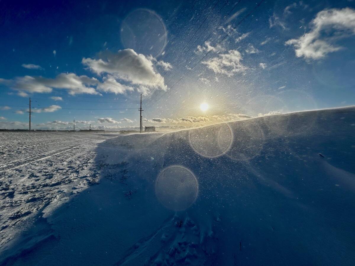
Why is the sky blue?
The colour of the skies, on the Prairies and elsewhere, tells the story of the paths sunlight takes as it enters Earth’s atmosphere, Daniel Bezte writes.
High pressure will build in late Thursday and into Friday, bringing plenty of sunshine but cool weather, with overnight lows early on Friday expected to be in the -4 to -8 C range. This area of high pressure is forecast to slide off to the east over the weekend, putting us into a return flow of southerly air on Saturday and Sunday. This should make for a nice Halloween weekend, with highs expected to be around 10 to 12 C and overnight lows in the +3 C range.
The forecast for the following week is a little uncertain because several weak areas of low pressure are forecast to slide across the northern Prairies as a ridge of high pressure begins to build to our southwest. If this pattern does materialize, don’t expect an early start to winter, as this type of pattern typically brings dry and mild weather to our region. Confidence in this part of the forecast is not that high, but the long-range models have been pretty persistent in keeping above-average temperatures around until at least the middle of November.
Usual temperature range for this period: Highs, 0 to 11 C; lows, -9 to 0 C. Probability of precipitation falling as snow: 50 per cent.


