Last week’s forecast played out surprisingly well. The storm system predicted to slide to our south at the start of the forecast period developed as expected but tracked further south than originally forecast, thanks to — you guessed it — strong arctic high pressure over our region. The quick weekend storm system looks to be on track as I write this and should be followed by — yep, you guessed it again — more arctic air.
For this forecast period, weather models show another strong area of low pressure developing to our southwest on Wednesday and moving northeast. As with all the storm systems this spring, arctic high pressure looks like it will keep most if not all of snow from this system to our south.
Once this system tracks by, we should see weak high pressure build in from the west. This high is not originating in the Arctic, so we should see reasonably mild temperatures with daytime highs in the 3 to 6 C range, with overnight lows falling to around -10 C.
Read Also
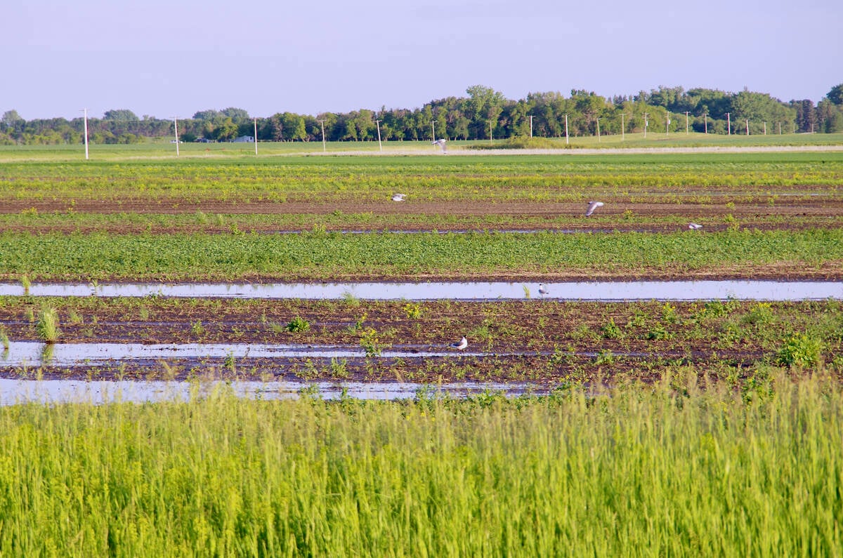
VIDEO: What climate change data gets wrong about the Prairies
Precipitation, not temperature, may be a better gauge of climate change impact on the Prairies, says director of the Prairie Adaptation Research Collaborative.
Over the weekend, weather models show a weak area of low pressure tracking through the central Prairies, bringing with it clouds and flurries. It only looks like a light dusting of snow.
Two centres of high pressure are then forecast to quickly drop through the region to start the week of April 10. These highs will bring sunny skies and seasonably cool temperatures. Expect temperatures closer to the bottom end of their usual range for this time of the year.
There is good news. The models have been fairly consistent with developing a warming pattern around April 13. Should this pattern develop, we could see daytime highs break into the low teens by April 15 or 16. Fingers crossed!
Usual temperature range for this period: highs, -2 to +11 C; lows, -12 to -2 C. Probability of precipitation falling as snow: 65 per cent.


