There were two concerns with last week’s forecast. It missed the widespread frost early in the forecast period, and it got the timing wrong on the arrival of cooler air.
The area of low pressure forecasted to track through northern Manitoba and then drag a cold front southward did develop, but it tracked much further north than predicted, which did not allow the cold air to push as far south.
For this forecast period, we are starting to see the battle develop between summer and winter. After a warm weekend and start to the week, it looks like we will see a significant cool down starting on Wednesday. A strong area of arctic high pressure is forecast to drop southeastward, with the core of the high moving across southern and central Manitoba late on Thursday. Expect daytime highs to struggle to the 10 C mark on Thursday and Friday with overnight lows possibly getting as cold as -6 to -8 C in some regions.
Read Also
Why is the sky blue?
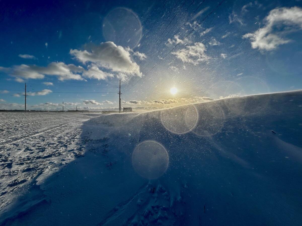
The colour of the skies, on the Prairies and elsewhere, tells the story of the paths sunlight takes as it enters Earth’s atmosphere, Daniel Bezte writes.
By the Thanksgiving weekend, the high should have moved off to our southeast, putting us into the return flow around the high. We should see south to southwesterly winds develop, which will help warm temperatures back up. Daytime highs over the weekend should warm from around 14 C on Saturday to about 20 C by Monday under plenty of sunshine.
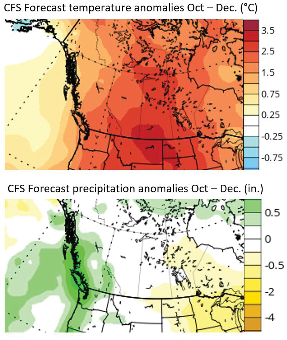
For the week of Oct. 10-14, the weather models show the warm dry weather sticking around. A deep low is forecast to develop off the West Coast of B.C., which will help to develop a broad upper ridge across the Prairies.
We should see plenty of sunshine along with temperatures running at or above the usual temperature range for this time of the year. Expect daytime highs to be in the upper teens to low 20s with overnight lows staying in a relatively mild range of 7 to 10 C.
Usual temperature range for this period: highs, 9 to 19 C; lows, -2 to 7 C.


