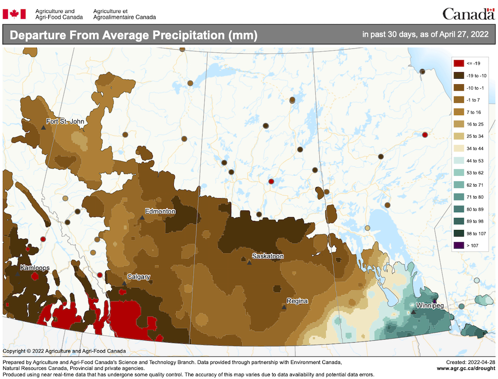
Well… I would have to say that the Colorado low that hit us over the weekend of April 23-24 was even stronger than the previous low. This low brought heavy rains and thunderstorms over central and eastern regions and more heavy snow over western regions. Now, as I try to get a grip on the next forecast period, there is another Colorado low forecasted to push through southern regions between April 29 and May 1.
Normally when I work on the forecast and have to deal with a potential strong storm occurring between when I write the forecast and when you read it, I often worry about the accuracy of the forecast that far out. This time around I am not that worried. The weather models have been fairly consistent with the forecast after the late-April storm. It finally looks like spring will move in. The big question is, how long will we have spring before summer-like temperatures move in?
Read Also

Why is the sky blue?
The colour of the skies, on the Prairies and elsewhere, tells the story of the paths sunlight takes as it enters Earth’s atmosphere, Daniel Bezte writes.
- PHOTOS: Wet weather washout
It looks like this forecast period will begin with temperatures creeping back up toward more-average values for this time of the year. With a ridge of high pressure forecast to build across our region we should expect sunny to partly cloudy skies with daytime highs working their way towards the 20 C mark by Friday or Saturday. Weak high pressure should continue to dominate over the weekend, making for the first really nice weekend in a very long time.
Weak high pressure is then forecast to continue into the first half of the week of May 7, with daytime highs making it into the low 20s and overnight lows falling to around +8 C. Winds should be light, so by the middle of the week only the largest snowdrifts might still be around.
Looking further ahead, this milder pattern looks as if it will continue, with only the occasional chance of showers and thundershowers as we finally shift into a late-spring/early-summer weather pattern.
Usual temperature range for this period: highs, 9 to 23 C; lows, -2 to +8 C.