Last week’s forecast was not that bad. We did see a mild push of air last Thursday along with a few showers — then the arctic high pushed southward last Friday and Saturday, bringing much colder air, even a little colder than first expected. As I write this the weather models still show a chance of snow on March 29 or 30 as an area of low pressure slides by to our south.
This forecast period begins with that same low slowly drifting northeastward through the Great Lakes and into Hudson Bay or northern Quebec. The counter-clockwise rotation around the low will help to pull in cool arctic air, keeping daytime highs right around the 0 C mark, with overnight lows falling to -6 to -10 C depending on the amount of cloud cover. We will likely see a mix of sun and clouds all weekend along with the odd flurry as energy rotates around the Hudson Bay low.
Read Also
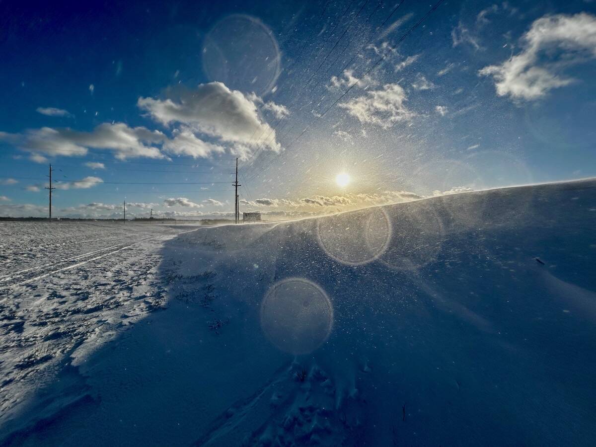
Why is the sky blue?
The colour of the skies, on the Prairies and elsewhere, tells the story of the paths sunlight takes as it enters Earth’s atmosphere, Daniel Bezte writes.
As this low slowly pulls off to the east, the door will open for an area of arctic high pressure to drop southward. This will bring clear skies and relatively light winds across all of southern and central Manitoba for the first full week of April. Daytime highs will start off below freezing but under the strong spring sunshine we should see highs creep back up above the 0 C mark by April 6. Overnight lows will be cold, with temperatures dropping to around -10 C under the clear skies. Areas with thick snow cover might see even colder temperatures. The one positive with the arctic high is that it will keep the spring storm track to our south.
Looking further ahead, there are signs of milder weather working its way in later in the week, with daytime highs forecast to push toward the 10 C mark. Remember, we need to keep in mind that spring weather is extremely changeable, so don’t be surprised if things don’t play out quite as expected.
Usual temperature range for this period: highs: -4 to +8 C; lows, -16 to -4 C.


