For those of you hoping to read that spring and melting temperatures are just around the corner, you’d better stop right here. It seems midwinter temperatures are going to dominate this forecast period, but with what appears to be plenty of sunshine, so it doesn’t look like it will be too bad.
Last issue’s weather outlook called for the potential of a strong Colorado low that would likely slide by to our south. We saw exactly that last weekend. Behind that low a strong arctic high began to build southward, which brought a return of cold winter temperatures to begin this week. This high is forecast to weaken and drift to our south during the second half of the week, taking the coldest air with it. Expect daytime highs to slowly moderate to the -14 C range, with overnight lows dropping to around -24 C. We may see some clouds late on Thursday and into early Friday as a weak low tracks by to our north.
Read Also

Forecasting spring 2026 weather on the Prairies
What weather can farmers expect across Manitoba, Alberta and Saskatchewan as they head into seeding? Plus: a lesson on what makes the seasons turn
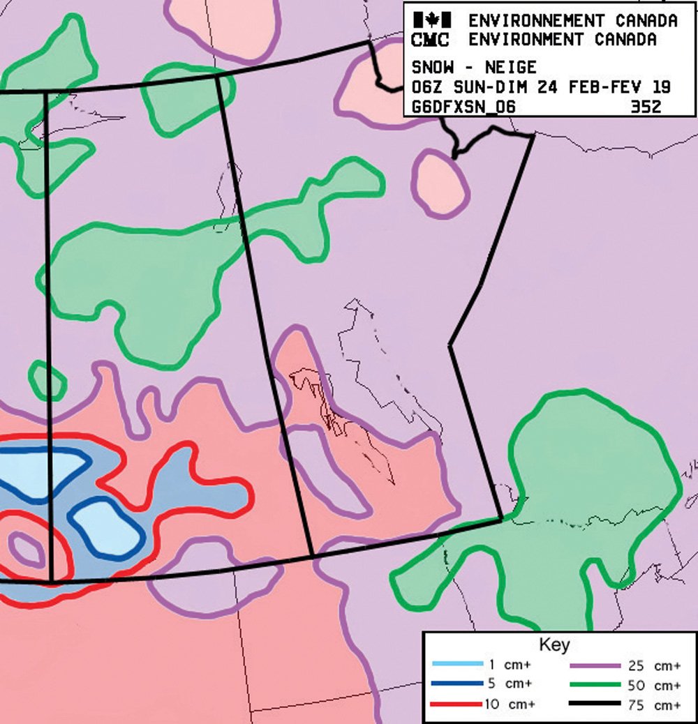
Over the weekend another Colorado low is forecasted to develop and track toward the central Great Lakes. This track should keep all the precipitation to our south, with maybe the extreme southeastern corner seeing a little light snow. While we’ll miss the snow with this system, extreme southern and eastern regions will likely see clouds or cloudy periods over the weekend. The southern track of this system will also keep any mild air well to our south.
Behind this storm system — yep you guessed it — another arctic high is forecast to drop down from the Yukon, bringing a return to sunshine across all regions along with cold temperatures. The coldest day looks to be Monday, with forecast highs of -20 C and overnight lows pushing -30 C. Looking further ahead, the models keep pointing toward more seasonable temperatures moving in by the second week of March; time will tell.
Usual temperature range for this period: Highs, -13 to -1 C; lows, -26 to -10 C.