I know I say this nearly every month, but wow, did that last month go fast! Maybe it was all the nice warm weather we saw across much of Manitoba, Saskatchewan and even into Alberta. Before we do our monthly look back and then peer ahead to see what the last three months of the year might hold in store for us, I want to share a couple of weather apps I have discovered.
Well, saying I have “discovered” them isn’t really right. My oldest son has been partially following in my footsteps at university by taking some climate and weather courses along with GIS and remote sensing, and he is the one who shared them with me, and I now have these on my devices.
The first one is Zoom Earth; it is a free service and can either be installed as an app or you can go to their website. It gives you really nice satellite imagery that is worldwide and can be, like the name implies, zoomed in and out easily. It will also show you the track of tropical storms if you are interested.
Read Also

Judge clears Manitoba horse exporter
Case dismissed in Manitoba horse export trial; verdict cites shared responsibility for animal welfare during air export and reasonable doubt.
Along with satellite imagery you can overlay radar, precipitation forecasts, wind speed forecasts and temperature, humidity, and dewpoint forecasts. Oh, it will also show the forecasted atmospheric pressure. The only drawback, at least for me, it that the forecasts only go out about 48 hours.
The second app is called Radar Scope and this one does have a cost to it. As the name implies, it provides really nice radar imagery showing typical precipitation depiction by any radar site or app. You can also play around with several other depictions, like velocity and differential reflectivity.
As with Zoom Earth, you can quickly and easily zoom in and out, but you have to change which radar station you are using if you want to move around the country. The Pro Tier One subscription costs about $12 for the year and unless you want archived radar data, I don’t think I would be worthwhile to upgrade to Pro Tier Two which costs about $130 per year.
This is my go-to app when I really want to see good detail on any precipitation event, especially thunderstorms. As usual, I think I should point out I do not get paid whenever I talk about any weather-related stuff that costs money. It is simply either my opinion or what I use and pay for.
CLICK HERE to see Daniel Bezte’s latest weather forecast for the Prairies.
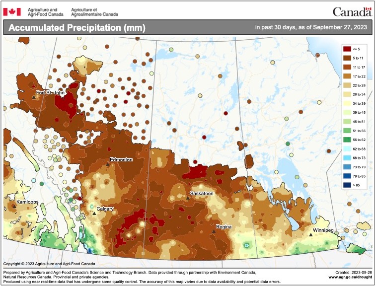
Now to our look back at September’s weather across the Prairies. If you thought September was warm and dry, you were right. Starting off our review in Alberta, that region saw slightly above-average temperatures along with below-average precipitation. Temperatures ranged from around 3 C warmer than average in the south, to about 2 C warmer than average over central and northern regions.
The hot spot was Calgary with a mean monthly temperature of right around 14 C. Precipitation was very light with most regions seeing around 10 to 15 mm and far northern regions seeing less than 10 mm.
In Saskatchewan, warm above-average temperatures continued. Saskatoon recorded a mean monthly temperature of about 15.5 C, around 4 C warmer than average, while Regina came in just a little warmer at 15.8 C, also about 4 C warmer than average. Precipitation was well below average, with most locations reporting between five and 10 mm.
Above-average temperatures continued into Manitoba. In fact, Winnipeg was the warmest location of our main reporting centres across the Prairies with a mean monthly temperature of about 16.3 C. The Brandon and Dauphin regions both reported mean temperatures of about 15 C. These readings were around 2 to 3 C above the long-term average for the month.
Manitoba also saw a dry September, but not as dry as Saskatchewan and Alberta. The Dauphin region was the driest with around 15 mm of rain, while both the Brandon and Winnipeg regions saw between 30 and 40 mm of rain.
Who called it?
Looking at the different forecasts, the winner this time around would be, for the first time in a while, my own forecasts. Both the CFS and CanSIPS models called for above-average temperatures, but they also called for near- to above-average rainfall. While my forecast was a little more general, it did call for above-average temperatures and near- to below-average precipitation.
Now on to the latest and greatest long-range weather outlooks, starting off with the almanacs, which, by the way, did not do a very good job with September’s forecast.
The Old Farmer’s Almanac calls for above-average temperatures in October along with below-average precipitation. November and December are forecasted to see below-average temperatures and above-average precipitation.
The Canadian Farmers’ Almanac calls for a colder and wetter than average October as it mentions chilly and squally weather several times. November appears to continue to see colder and wetter than average conditions as it mentions cold, rain and snow nearly every week.
Finally, its December forecast seems to call for near-average temperatures and above-average precipitation. It does mention a severe storm for the eastern Prairies to end the year.
As for the weather models, NOAA predicts near-average temperatures with near- to below-average precipitation. The CFS’s latest three-month forecast calls for above-average temperatures with near-average precipitation. The CanSIPS model is also calling for above-average temperatures and near-average precipitation.
Finally, the ECMWF (European model) is calling for near- to slightly above-average temperatures along with near-average precipitation.
Last on the list is my attempt. With El Niño firmly in place I think I will play the odds and go with above-average temperatures and below-average precipitation to end 2023.