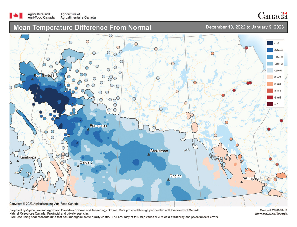
The last forecast period turned out not too badly, considering the weak flow pattern across our region. I said we were going to see a lot of clouds with occasional shots of light snow and, for the most part, that is what we got. On the plus side, temperatures were a little warmer than forecast.
For this forecast period, it looks like the atmosphere is undergoing some changes, but each time the models forecast a big change, the next run backtracks to more of the same quiet, mild, nice mid-winter weather. This means confidence in this forecast is on the low side.
Read Also

Judge clears Manitoba horse exporter
Case dismissed in Manitoba horse export trial; verdict cites shared responsibility for animal welfare during air export and reasonable doubt.
Once again, the forecast period will start with weak arctic high pressure dominating across our region. It looks like the centre of this high will be to our north and east, placing us in an easterly to southeasterly flow.
This should keep temperatures relatively mild, with daytime highs in the -10 C range and overnight lows around -18 C, but it usually results in cloudy skies. It’s hard to tell at this point if the high will be strong enough to prevent cloud formation. These conditions should last into the weekend of Jan. 21-22.
To start the week of Jan. 23, weather models show the area of high pressure sliding to the east. This will allow some energy from the Pacific storms that have been battering the West Coast to move inland.
The first system looks to move through our region Monday, bringing with it the chance of a little light snow. We will also see increasing southerly winds ahead of the system, along with warmer temperatures. Expect daytime highs around -5 C.
Behind this system it looks like the general flow across our region will become more northwesterly. A series of weak systems is expected to form over northern Alberta and dive southeastward during the week.
These systems don’t look like they will bring much snow, and any snow that does fall will mostly be in central and northern regions. Temperatures under this pattern would cool down, with daytime highs around -12 C and overnight lows around -20 C.
Further ahead, there is some indication of cold arctic high pressure beginning to build across Alaska and the Yukon. The question is whether this will work its way south, bringing a return to below-average temperatures or if we will switch back to the mild stagnant pattern that has dominated much of January.
Usual temperature range for this period: highs, -23 to -6 C; lows, -34 to -16 C.


