For the first time since late November, a number of places across southern and central Manitoba saw daytime highs above the freezing mark last weekend. For this forecast period we’ll see a bit of a temperature roller-coaster, with a couple more chances of seeing above-freezing temperatures.
We start this forecast period off with a strong area of low pressure dropping quickly southeastward from northern Saskatchewan early Wednesday morning. This low is forecast to track through north-central Manitoba during the day on Wednesday, ending up near Thunder Bay by Thursday morning. Ahead of this low we’ll see strong southerly winds and mild temperatures as a warm front pushes through. We will likely see some light snow, freezing rain or even just rain as the warm front moves across the region. Once the low slides by to our east, the winds will become strong northerly and we’ll see temperatures cool down significantly for the Thursday-to-Saturday time frame, with highs only expected to be around -18 C and overnight lows in the mid-minus-20s range.
Read Also
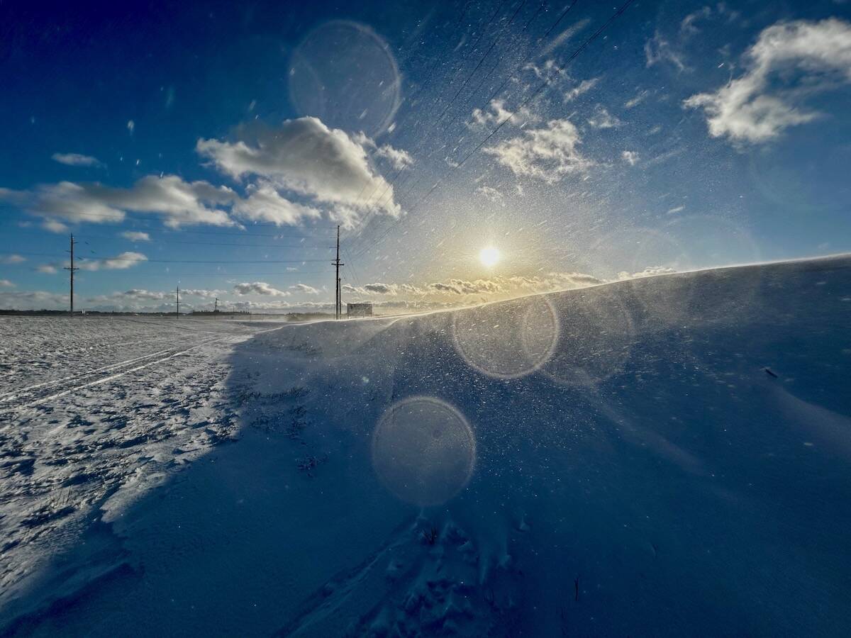
Why is the sky blue?
The colour of the skies, on the Prairies and elsewhere, tells the story of the paths sunlight takes as it enters Earth’s atmosphere, Daniel Bezte writes.
By Sunday we should see a rapid recovery in temperatures as a strong ridge of high pressure situated to our west pushes eastward, placing us in a mild westerly flow. Daytime highs could once again push the freezing mark in some areas. This ridge should collapse early next week as a weak arctic high builds southward behind a strengthening upper low over Eastern Canada. Temperatures will cool back down to more seasonal values on Tuesday and Wednesday before we see a return to mild conditions by next Thursday or Friday.
Usual temperature range for this period: Highs, -22 to -5 C; lows, -33 to -16 C.


