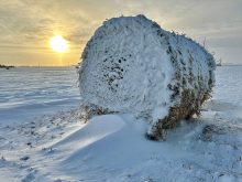
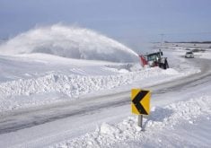
Before going into this period’s forecast, I just have to mention last week’s little snow system that moved through much of agricultural Manitoba bringing anywhere from a light dusting to upwards of 15 cm of snow. In my last forecast I mentioned we need to keep an eye on an arctic high that might push south over the weekend. Well, as this high started to push south it forced an area of low pressure over Hudson Bay in the upper atmosphere to dive southwards – a pretty unusual event.
Read Also
Forecasting spring 2026 weather on the Prairies
What weather can farmers expect across Manitoba, Alberta and Saskatchewan as they head into seeding? Plus: a lesson on what makes the seasons turn
Now on to next week’s forecast. High pressure will slide to our south during the week keeping our region under mainly sunny skies with temperatures in the middle of the usual temperature range for this time of the year. A few weak areas of low pressure will slide through our region during this period, but they will likely only bring a few clouds with only the odd chance of a flurry.
Over the weekend a slightly stronger area of low pressure is forecasted to move through southern regions. This system may bring a little better chance of some light flurries on Saturday or Sunday. Temperatures will begin to slowly warm up over the weekend with highs in the -5 to -8C range. For the first half of next week the models are pointing to a continuation of the mild temperatures along with a mix of sun and clouds.
Usual temperature range for this period: Highs: -18 to -4C Lows: -30 to -12C


