Every so often I like to look back at some of the articles I’ve written over the years. While doing this, I came across an article from 2007 that was my attempt to answer the question of how climate change will impact the weather across agricultural Manitoba over the next 10 to 20 years. I did this by extrapolating how more general predictions might specifically affect our region.
Since it has been 15 years since I wrote that article, I thought it might be interesting to go over what I said back then and see how it panned out. I will pull selected paragraphs from that article and add updated commentary.
“The first thing that I want to get out of the way is the argument over whether our planet is warming up. Evidence strongly shows that we are currently experiencing a period of rapid warming. Even the opponents of carbon dioxide-based global warming cannot argue that the planet is warming up.”
Read Also

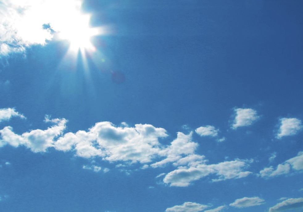
Why is the sky blue?
The colour of the skies, on the Prairies and elsewhere, tells the story of the paths sunlight takes as it enters Earth’s atmosphere, Daniel Bezte writes.
According to the National Oceanic and Atmosphere Administration (NOAA), the years 2013-21 all ranked among the 10 warmest years on record, with 2021 being the 45th year in a row with global temperatures above the 20th-century average. Fifteen years after I wrote the above paragraph, there is still a small but vocal group of people who do not believe our planet is warming or that human activity is causing it.
Overall, it does appear we have made significant strides in this area, as the science behind the cause of warming continues to move us toward a stronger consensus.
“As our planet warms, weather patterns are going to change or move. Currently in the spring there are two storm tracks across North America, one over the central U.S. and the second one over southern to central Canada. The southern one brings the rains to the U.S. corn and grain belt, while the northern one brings our April and May rainfall. Under a warmer climate the southern U.S. will heat up earlier and quicker. This will push the southern storm track northward. So, for our region, I feel that our wet springs will occur much more often. We will still get rain in the normal April-May period, but then the southern storm track will quickly move in, bringing additional heavy rains in June and early July.”
Looking back at the data, if we do not count the 2019-21 drought, most springs have been wetter than average, with May seeing the largest increase in precipitation. The prediction of wetter Junes did not happen. Most Junes during this 15-year period had below-average amounts. There has been a trend toward the southern and central U.S. heating up quicker, pushing the southern storm track northward early, and while June has trended toward drier conditions, I think this spring’s weather followed that prediction a little better.
“Summers will trend towards hotter and drier, but with a warmer atmosphere, more moisture will be available for thunderstorm development. During our summers, most of our rainfall comes from thunderstorms. So, while summers will trend toward warmer and drier conditions, thunderstorms will be more intense, and this will lead to some areas receiving huge summer rainfalls while only kilometres away it stays dry — much like we see right now only to a greater degree.”
While our summers have gotten warmer, the increase has not been that significant. Most years have had mean summer temperatures about 0.3 to 0.5 C above the long-term average. Summer precipitation has been below average during this period but there have been some summer months that did see excessive amounts of rainfall in some areas. Overall, a fairly good prediction of what would happen in the summer.
“The fall weather trend is a tough call and logic dictates that we should be seeing a later start to winter, but lately winter has been knocking on the door in late October and then going away again until late November. So, I am going to have to leave this one in limbo for now.”
I pulled my punch on this one. Interestingly, fall weather patterns have been all over the place during this period. We have seen some nice warm falls, and some very late starts to winter, and we have seen some cold, wet and miserable falls. The overall trend over the last 15 years has been toward slightly later starts to winter but with lots of variability. So, maybe I was right to leave this one in limbo.
“Winters will be warmer, but that does not mean we won’t see bitterly cold air. We live close enough to the Arctic that extremely cold outbreaks will still occur and, in fact, with a more active weather pattern in winter we might see more cold air outbreaks, although they will tend to be short-lived. Snowfall is a tough call, but we will see greater amounts, but just like we experience now, snowfall from year to year can be quite variable, with some years having very light amounts. What will happen more often is the melting of snow at various times during the winter.”
Looking back at the last 15 winters, the overall temperatures were definitely warmer, but they seem to oscillate between extremely warm periods and extremely cold ones. The warm periods have outweighed the cold periods in both the number of times and intensity. For example, the warmest month was 8 C above average while the coldest month was 6 C below average. Snowfall has been mostly below average during this period, interspersed with the occasional period of heavy snow. Also, the number of winter thaws has increased. Conclusion: a pretty good prediction.
It will be interesting to see what happens over the next 15 years. Hopefully I will still be around to review it!